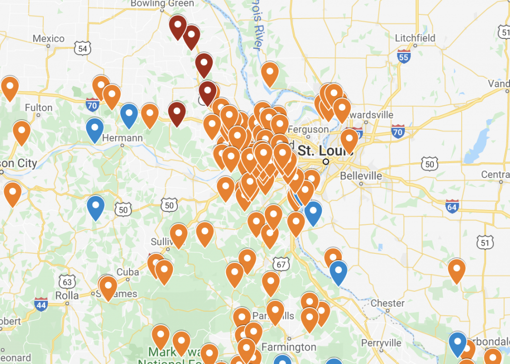
Our Hiking Map
When I started the 52 Hike Challenge the very first year, I started keeping a little notebook where I would write down the place, the trail, the companions, the weather, and notes about the experience.
As my hikes became more frequent, this became more tedious. 🙂 I started adding them to a Google map. Then I somehow lost that map. So now I have a map that I keep track of places we’ve been and places we want to go. I started linking my blog posts to the map. I would like to continue by making some notes about the locations on the map, but let’s get serious- I’m not there yet. Someday though!
It is only for local hikes. Local meaning in Missouri and surrounding states, basically. And it’s recent hikes. Recent meaning in the past two or three years.
I have shared this with some people and have received good feedback, so now I want to share it with everyone. I have it permanently linked on the nav bar of this blog, and I will link it here or if you click on the map below, it will take you to the interactive map. Let me know if you have any questions about any of our places!