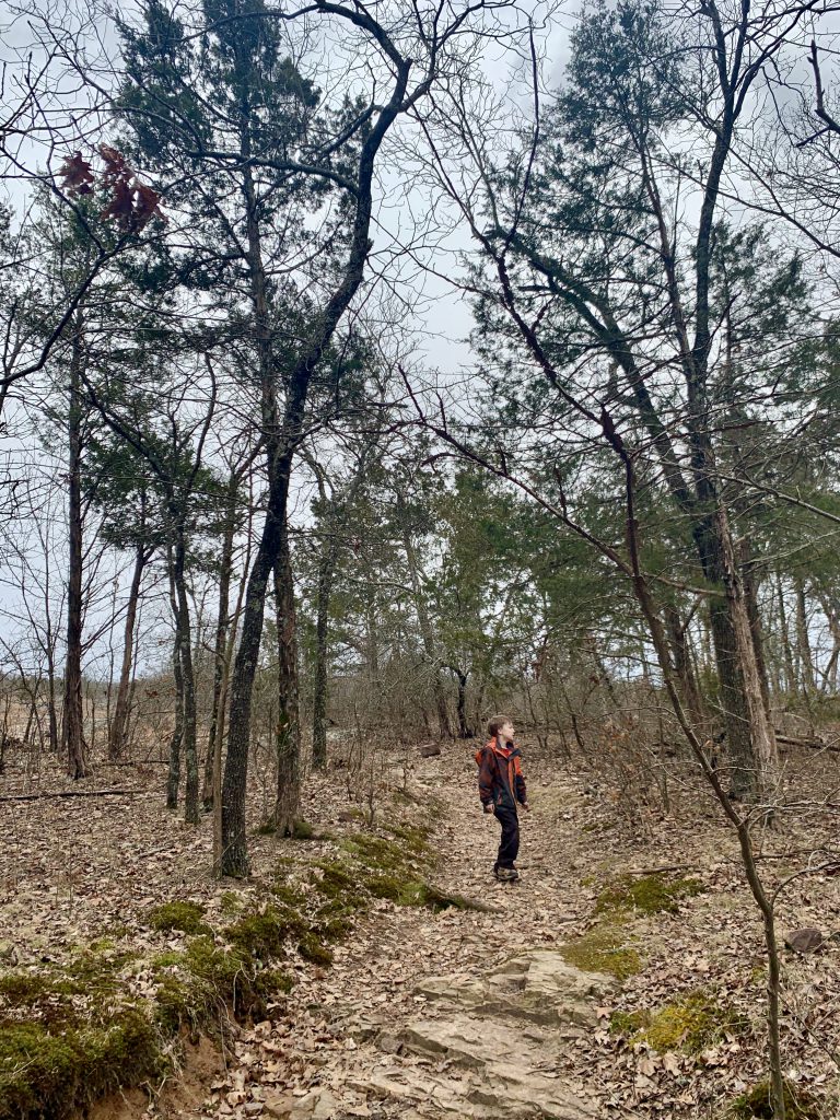
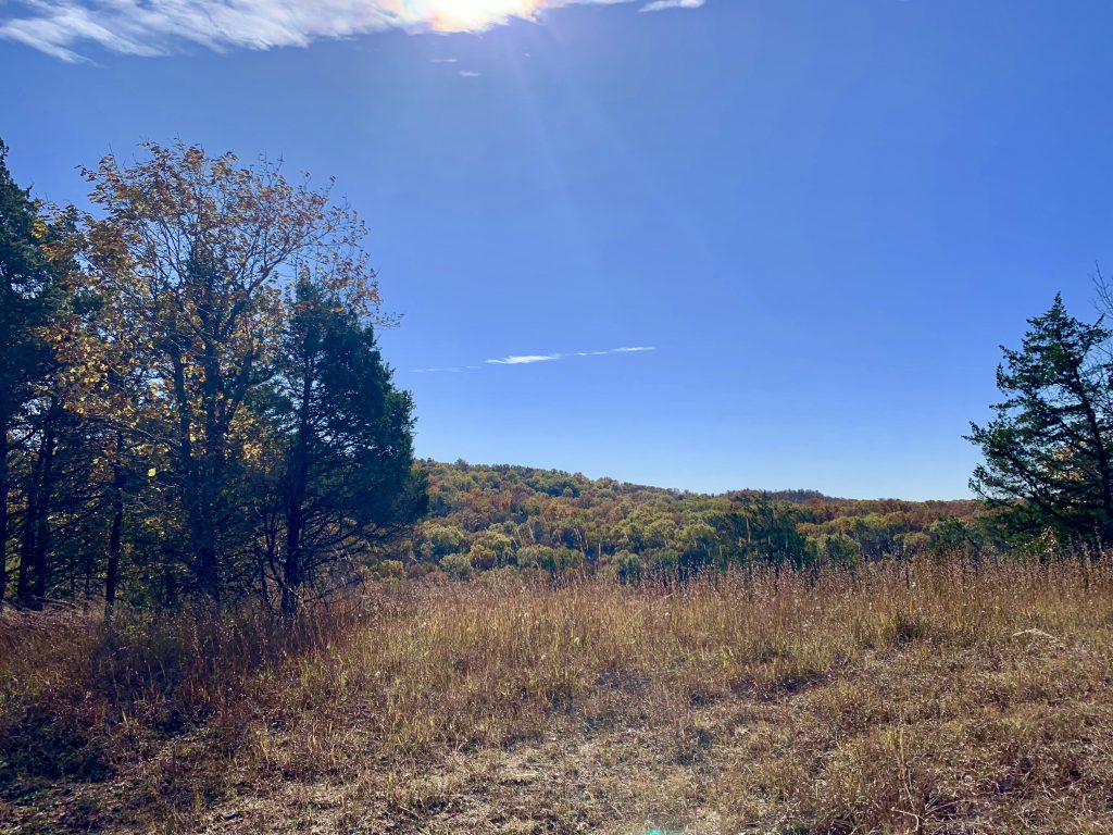
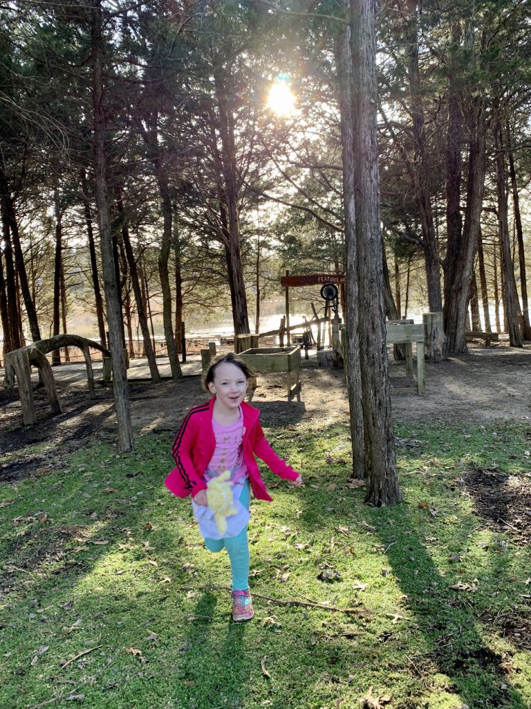
Hughes Mountain is a small “mountain” in the St. Francois that rises about 380 feet above the Big River valley below. It features a short 0.75 mile one way trail up to the top of the mountain- but there’s plenty to explore!
Hughes Mountain Quick Facts:
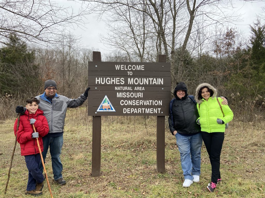
Located in the Irondale area off Hwy M- it’s easy to miss!!
There are no amenities (including no bathrooms), just a small gravel parking lot.
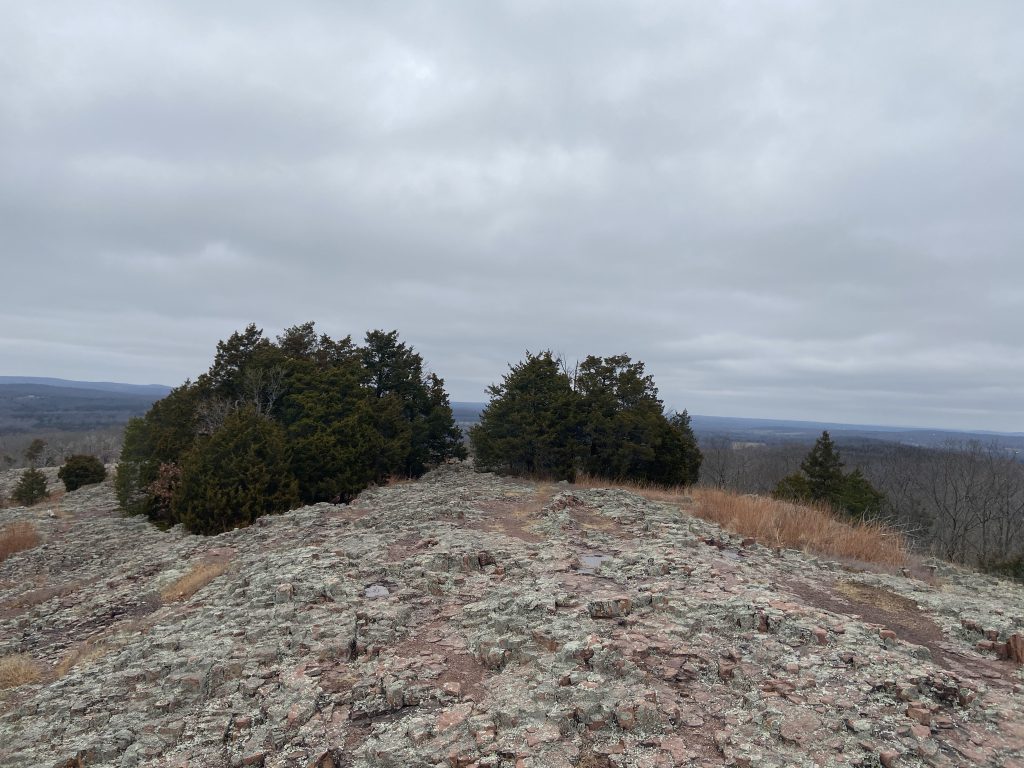
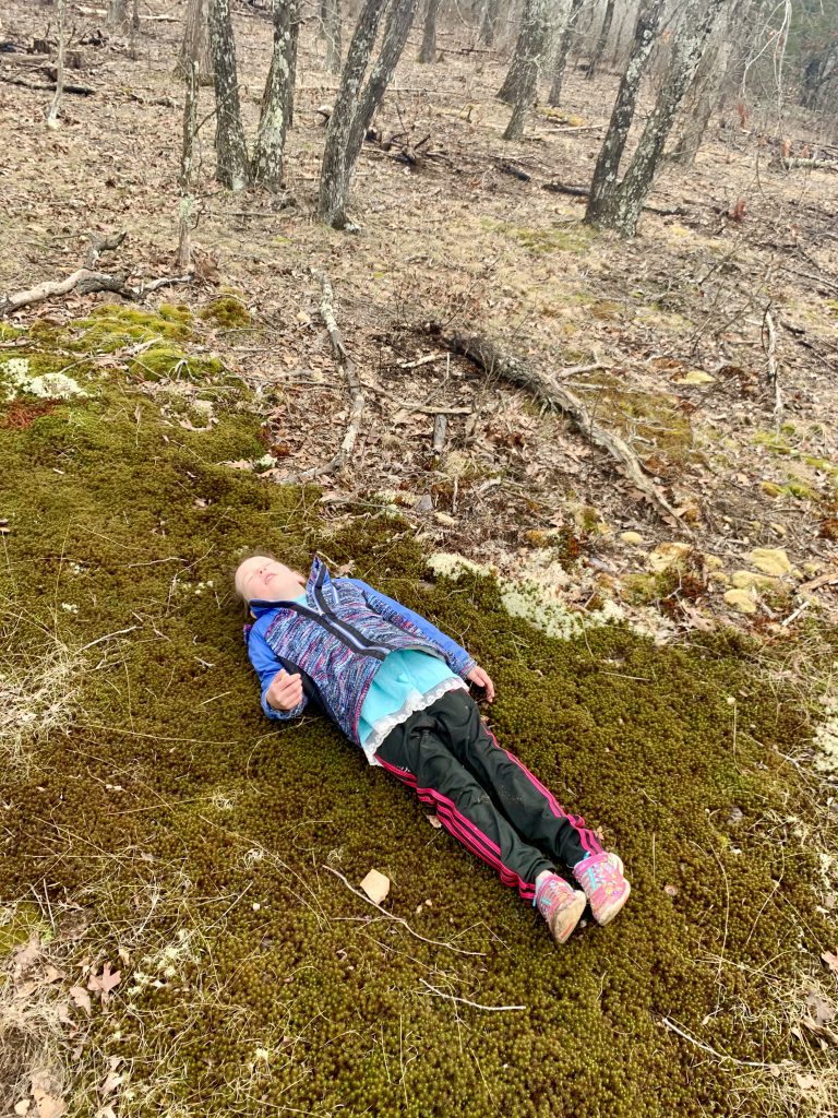
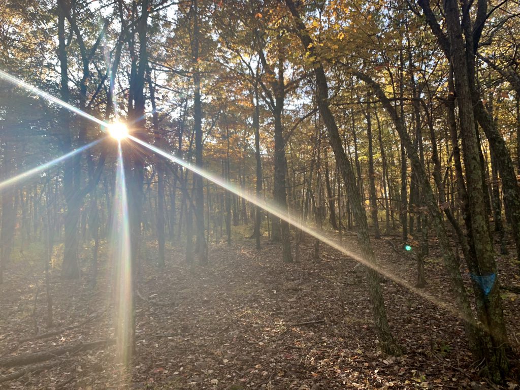
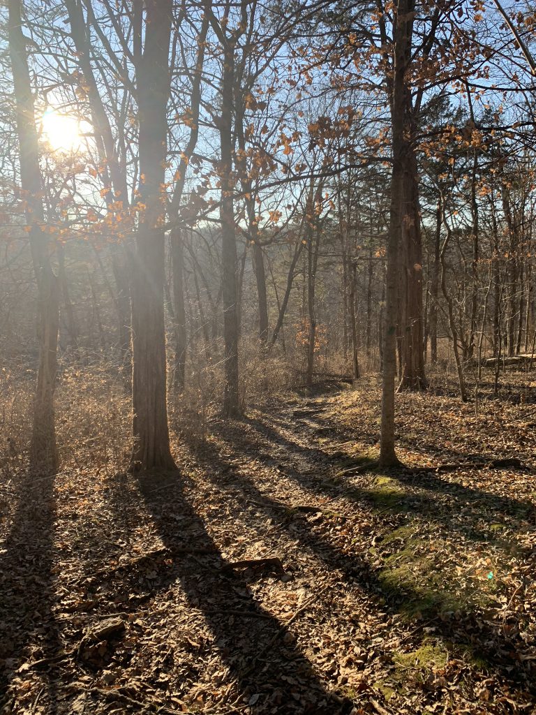
Hughes Mountain is one of my favorites. It is a very peaceful place for me. I go about once a season. It looks dramatically different in each season. The spring brings lovely wildflowers, the summer brings gorgeous greens as far as the eyes can see. The fall boasts gorgeous foliage, and the winter gives you gray tree trunks with the greens of the cedars and you can see the rock all around… I love it.
It is rarely crowded, and it is fairly secluded. You can sometimes hear road noise, but not much. It’s also located near some other gems, so it is a fun one to add on. But it can also be a destination in and of itself!
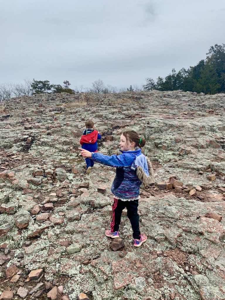
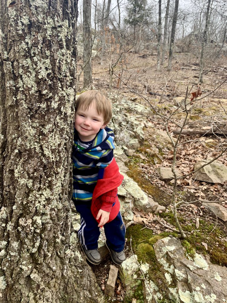
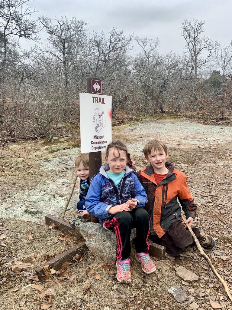
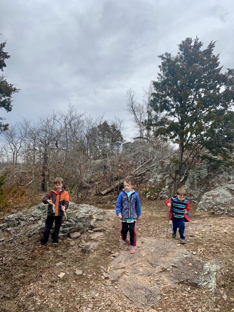
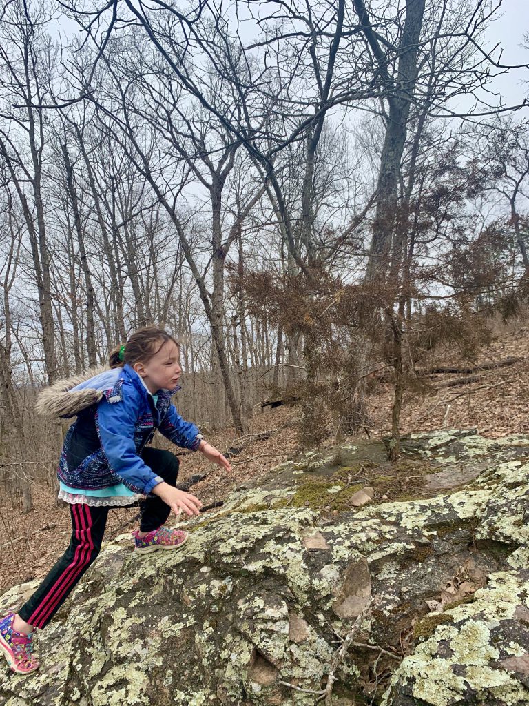
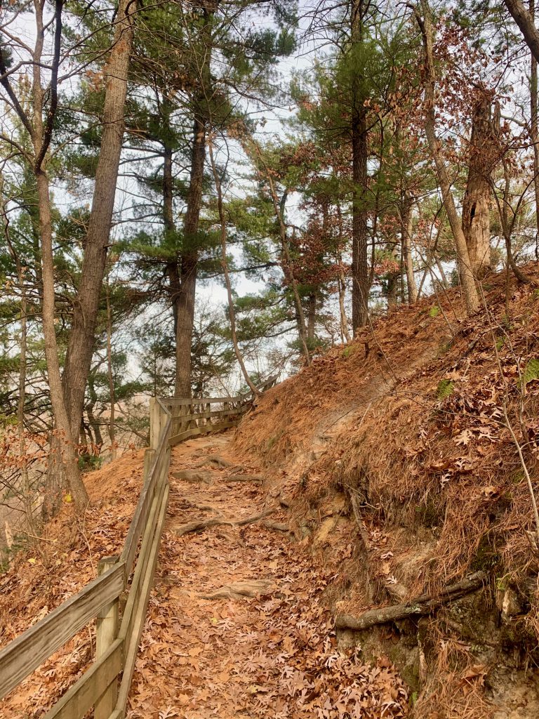
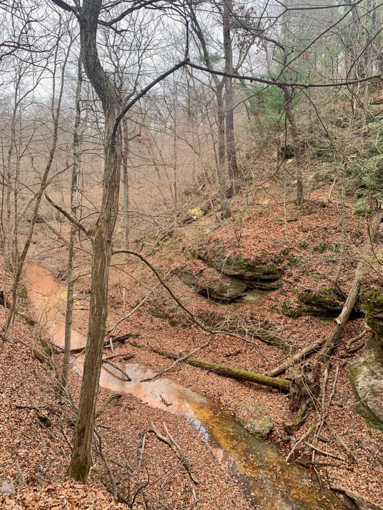
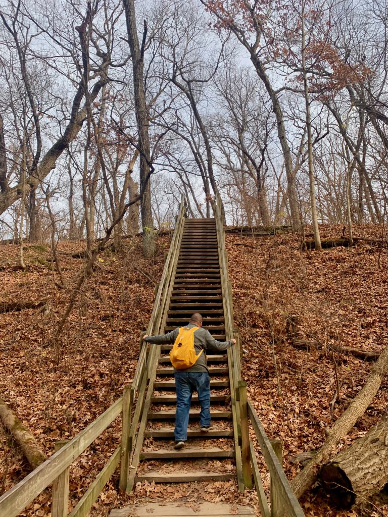
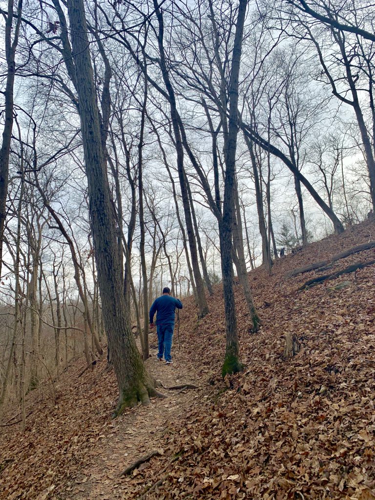
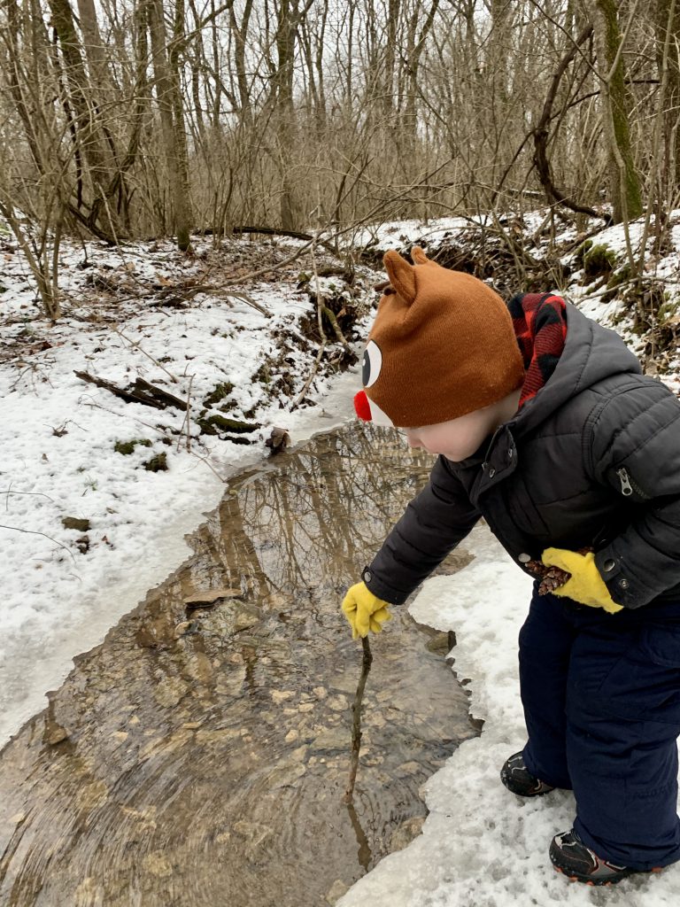
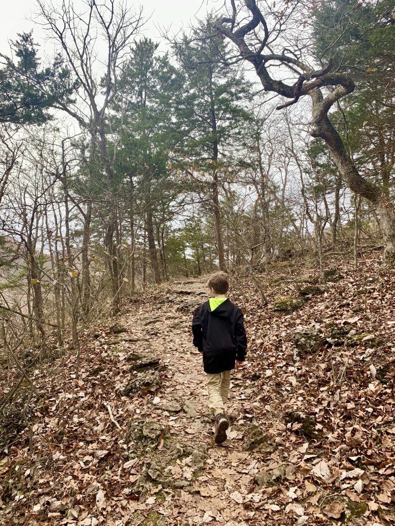
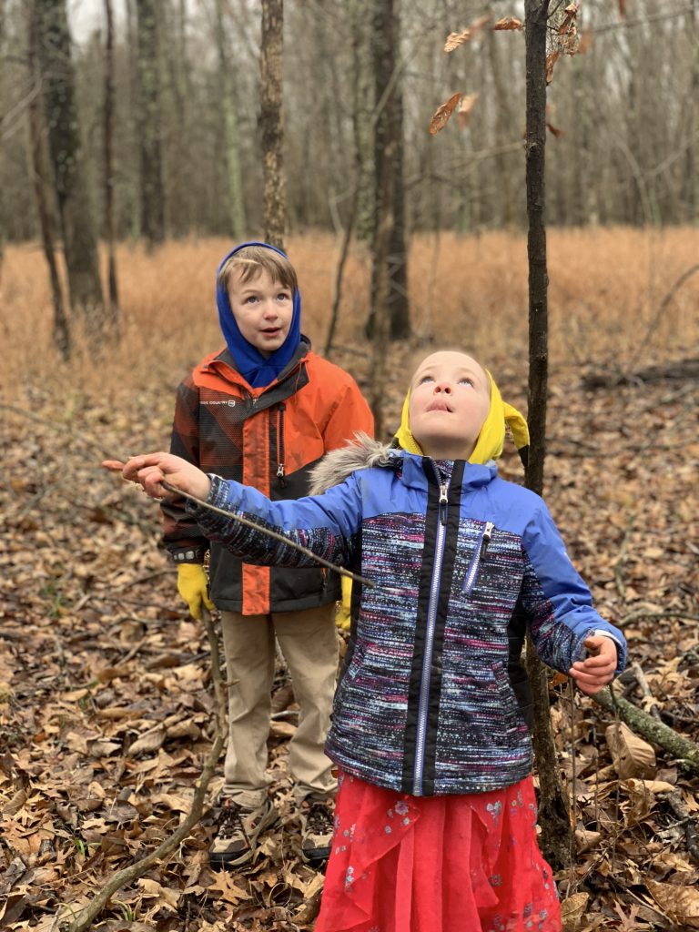
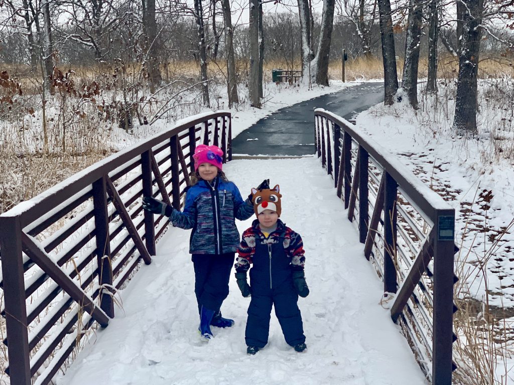
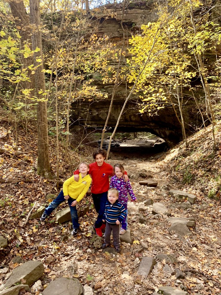
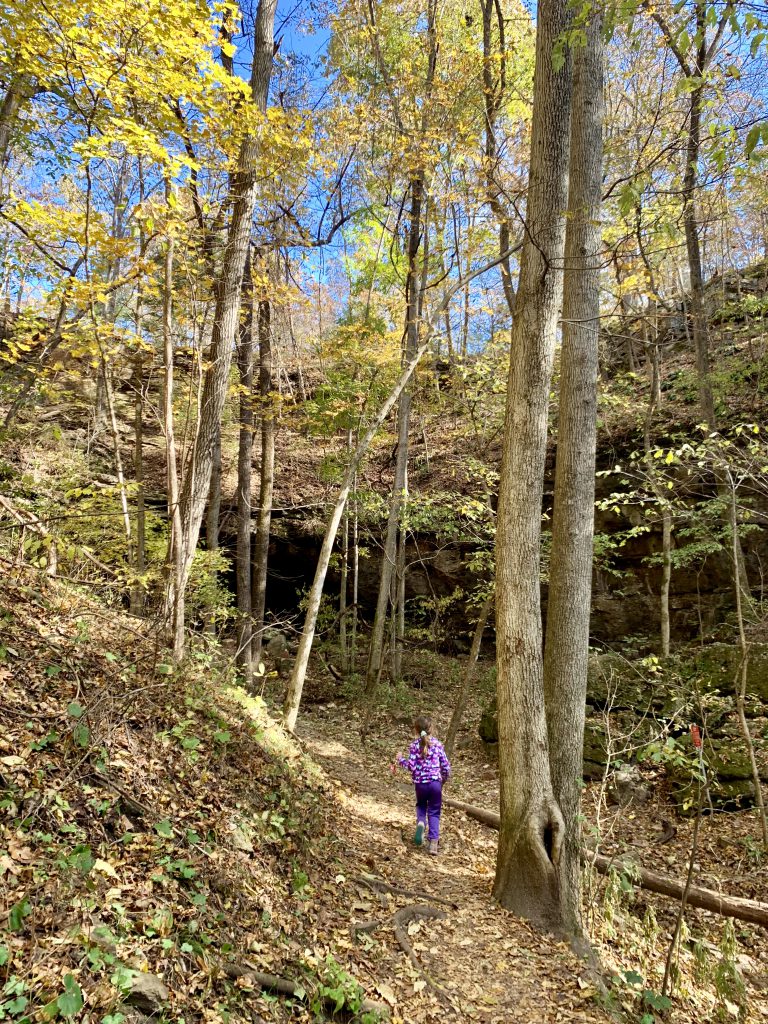
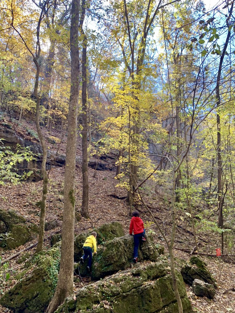
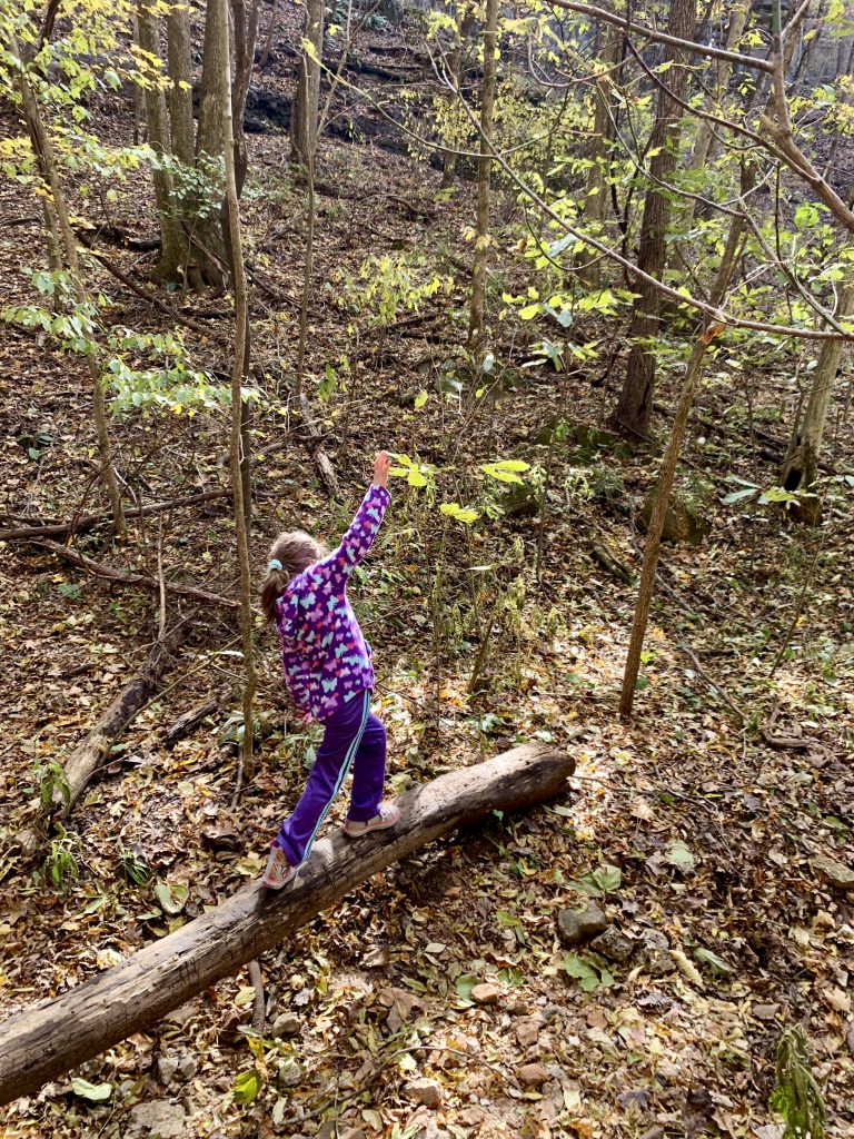
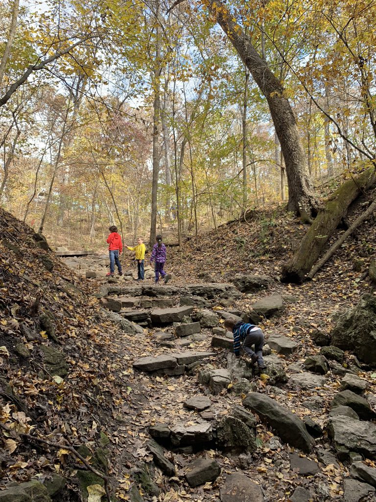
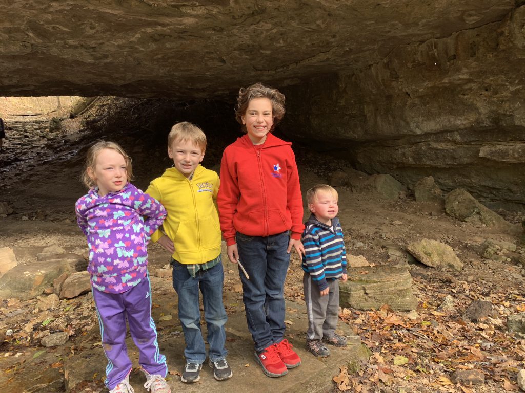
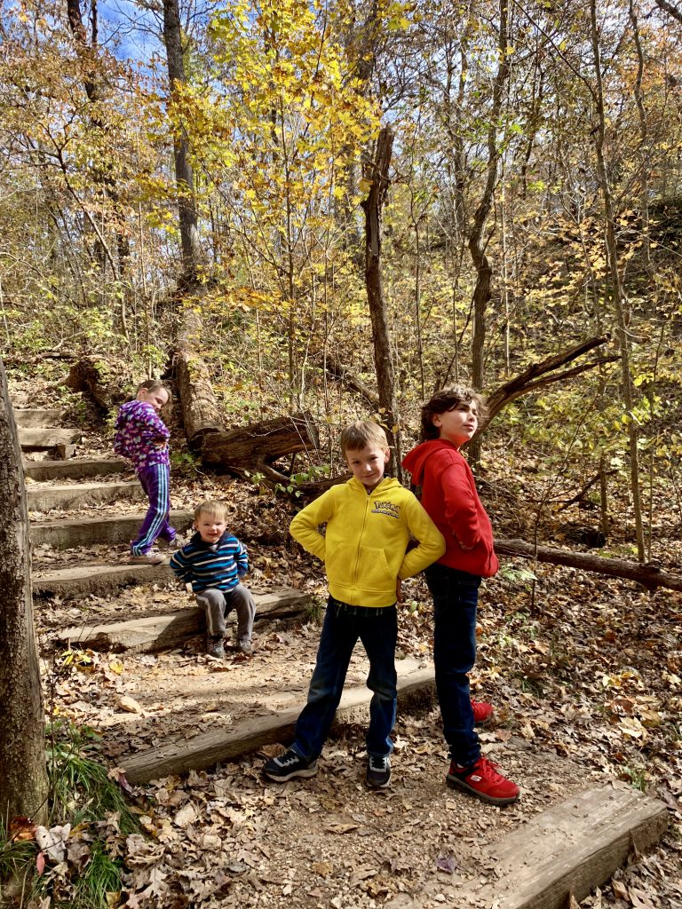
The trail is pretty easy- I have brought my kids with me on several occasions. But I have also brought adults who find it challenging. I would say it’s moderate- there are some rugged parts and obviously some elevation. It starts out as dirt trail, then you come across some rocks, then it’s dirt once more. If there has been recent rain, there’s a little run off.
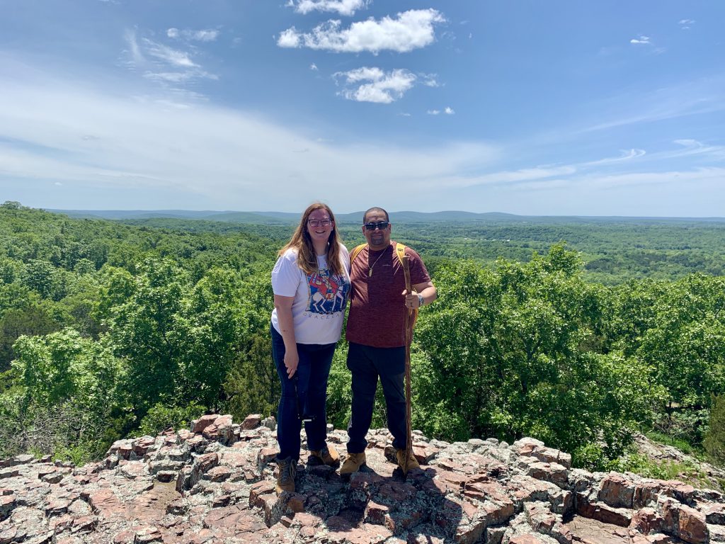
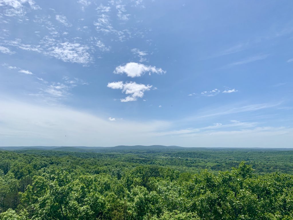
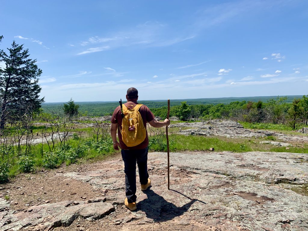
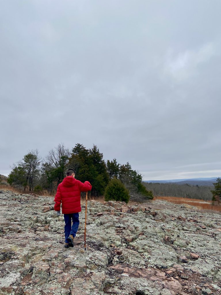
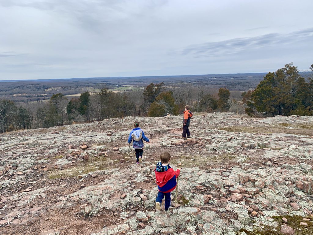
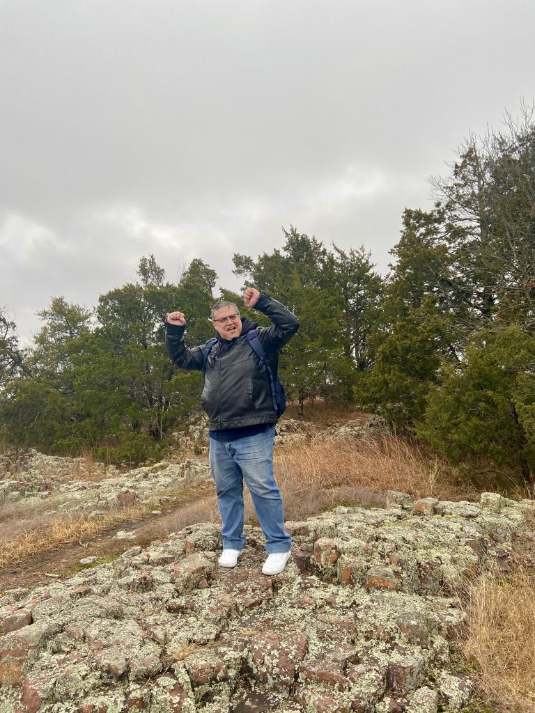
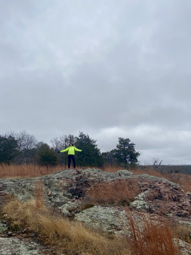
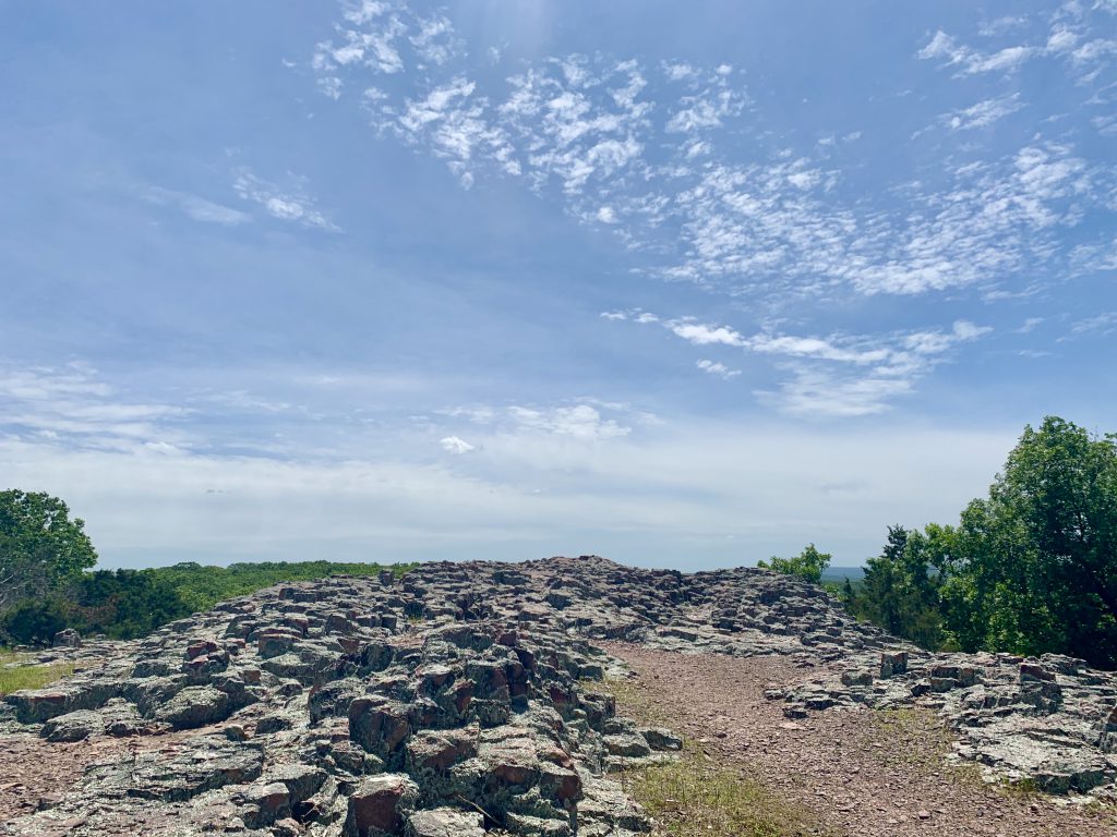
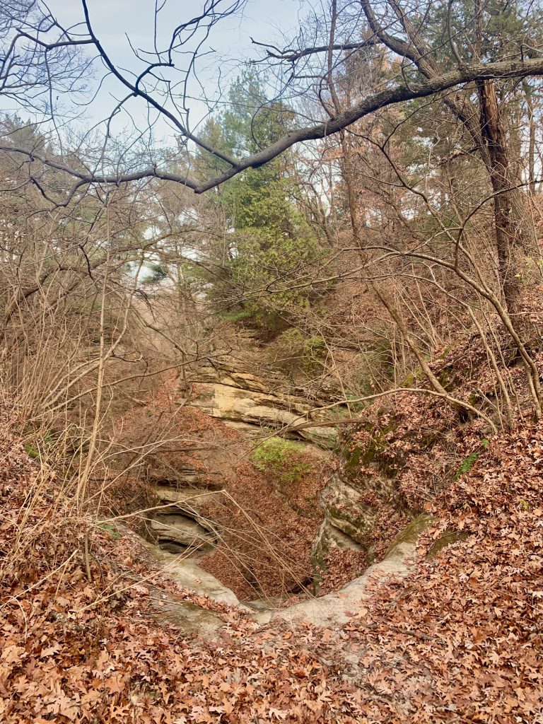
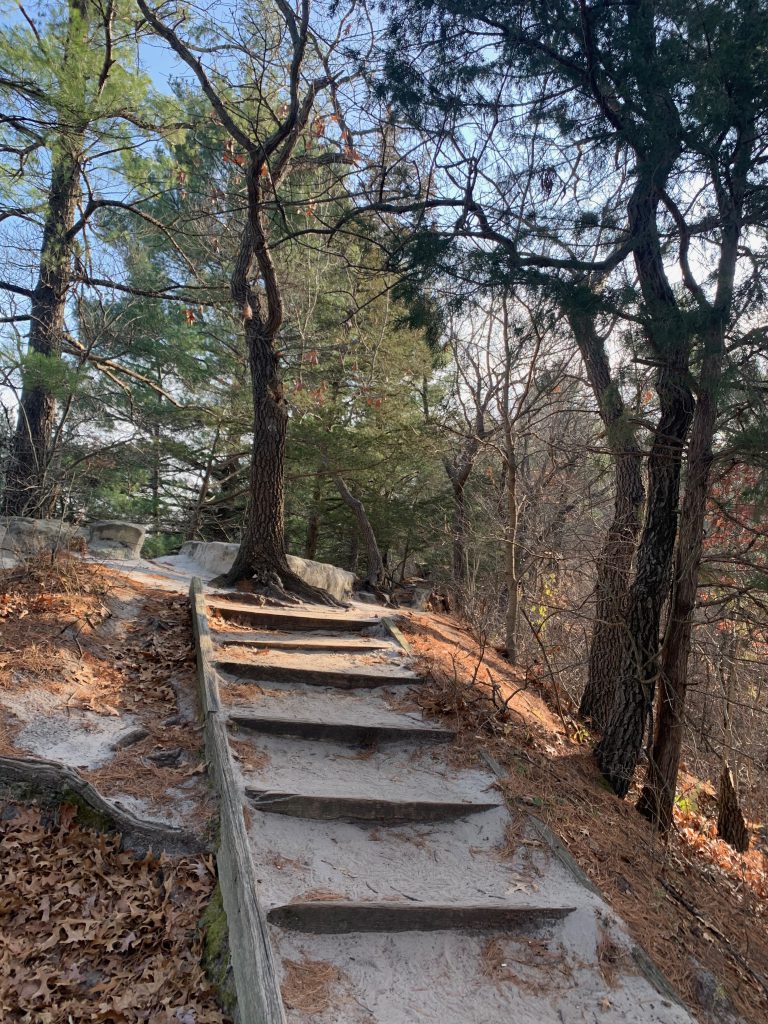
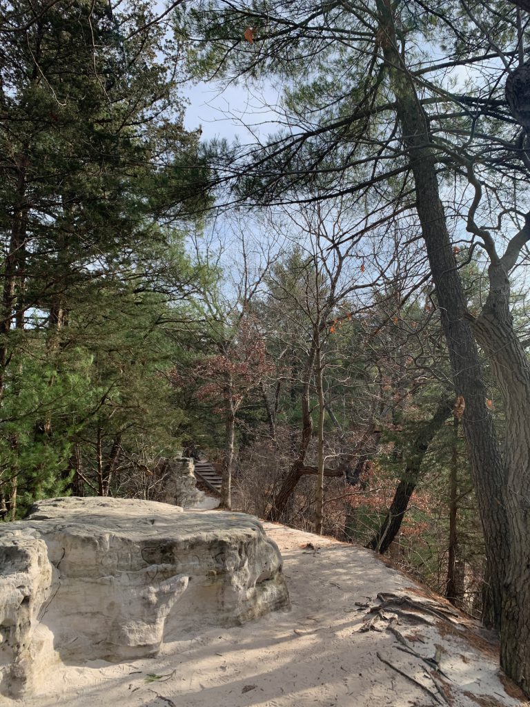
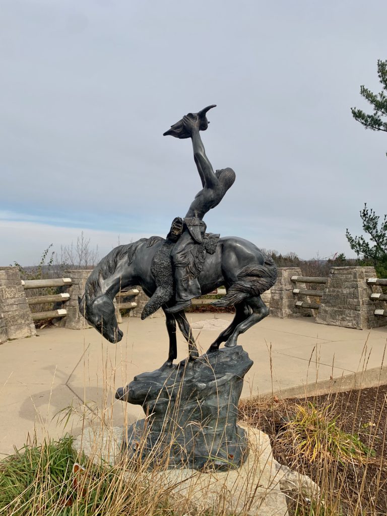
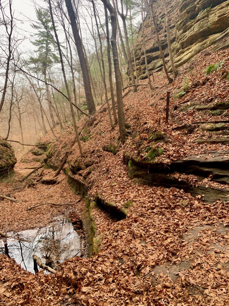
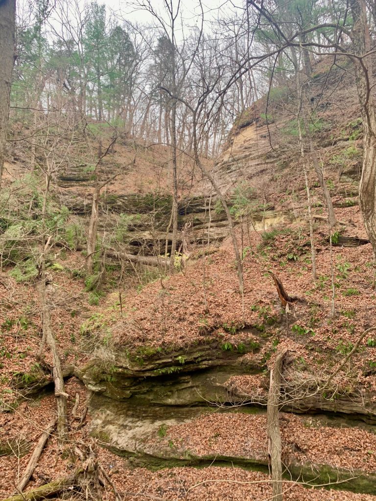
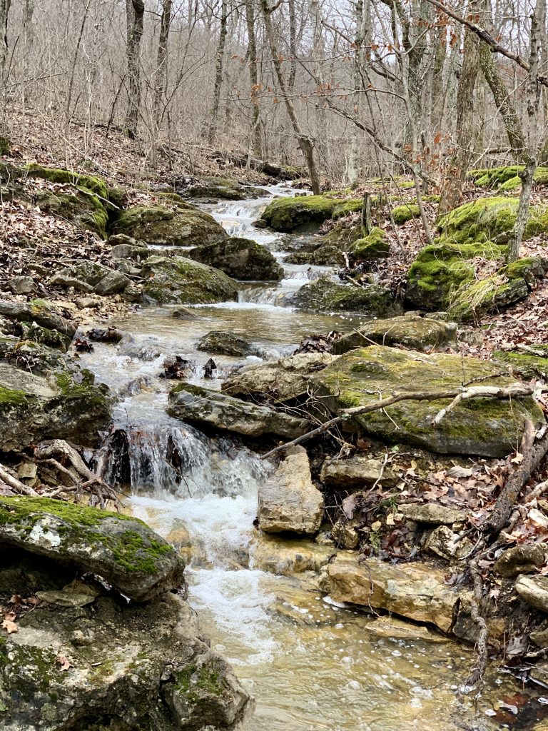
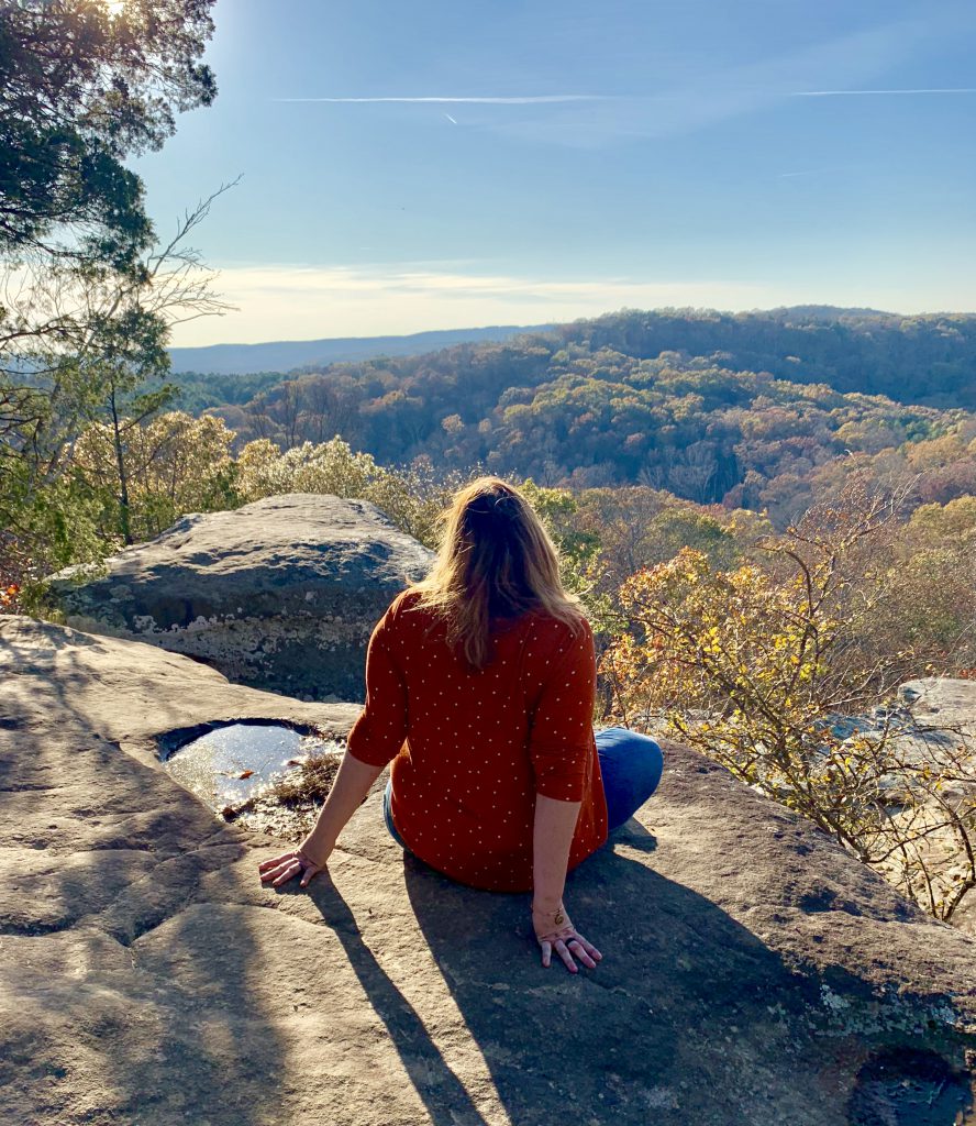
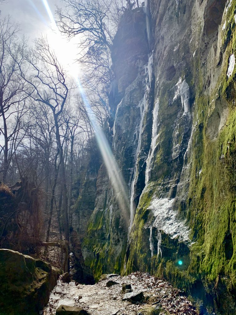
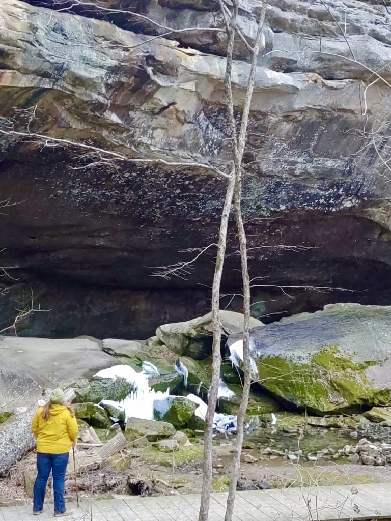
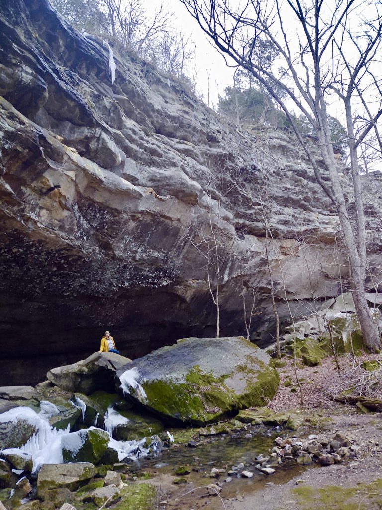
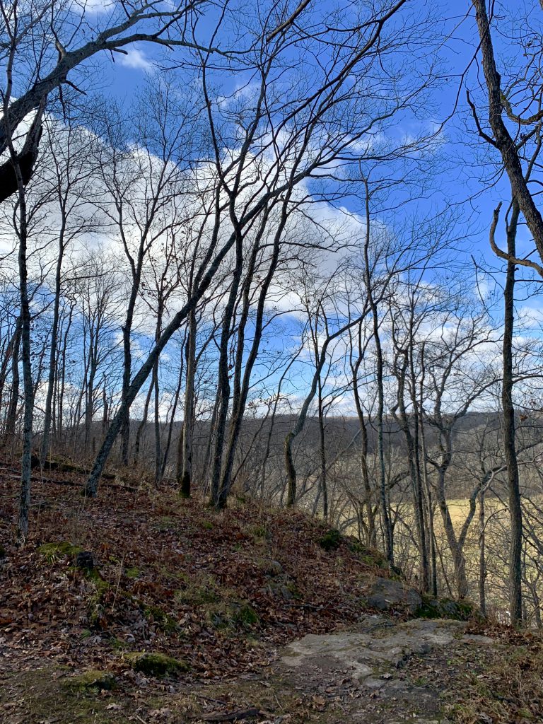
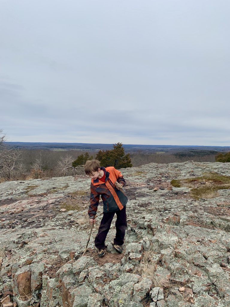
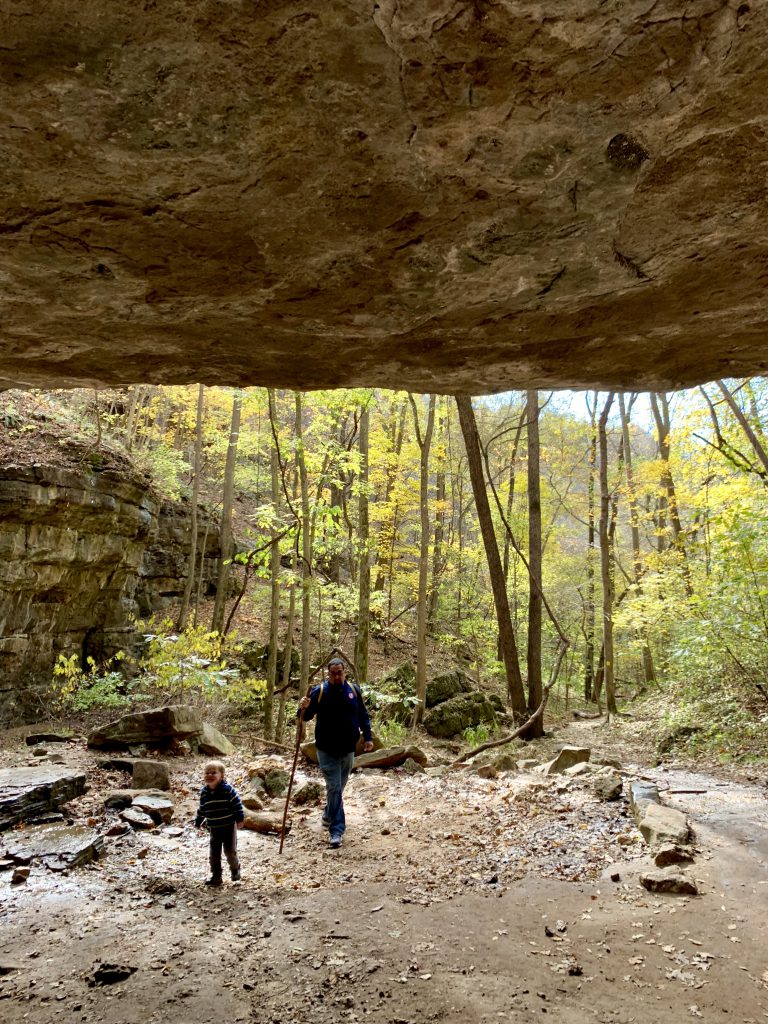
The top of the mountain is beautiful rhyolite. It is pinkish and, being part of the St. Francois mountains, is ancient rock. It forms these hexagonal columns called the Devil’s Honeycomb, and it is super unique and stunning. The colors are always pretty, any time of year.
You have a view of the surrounding mountains from the top. Don’t stop when you think you have gotten to the top- keep going to see the spectacular view from the top!
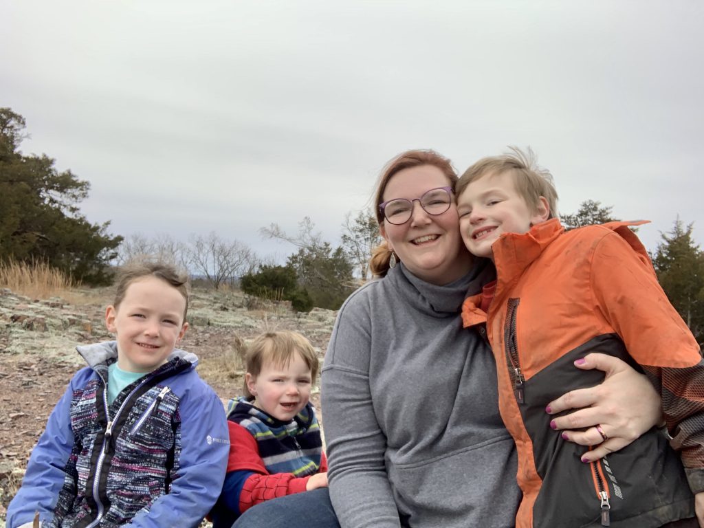
Hughes Mountain is a serene place that will delight your senses. Let me know if you go- I’ll totally come with you!
Starved Rock has been on my list for a long, long time. I finally visited and I have to say- it totally lives up to the hype! While I didn’t see all of it and another visit is surely in order, what I did see was incredible and I was grateful to take my time and enjoy the majesty of this gem.
Quick Facts:
Starved Rock State Park is located in Illinois about three and a half hours from St. Louis or an hour forty-five minutes from Chicago.
It is the most visited state park in Illinois!
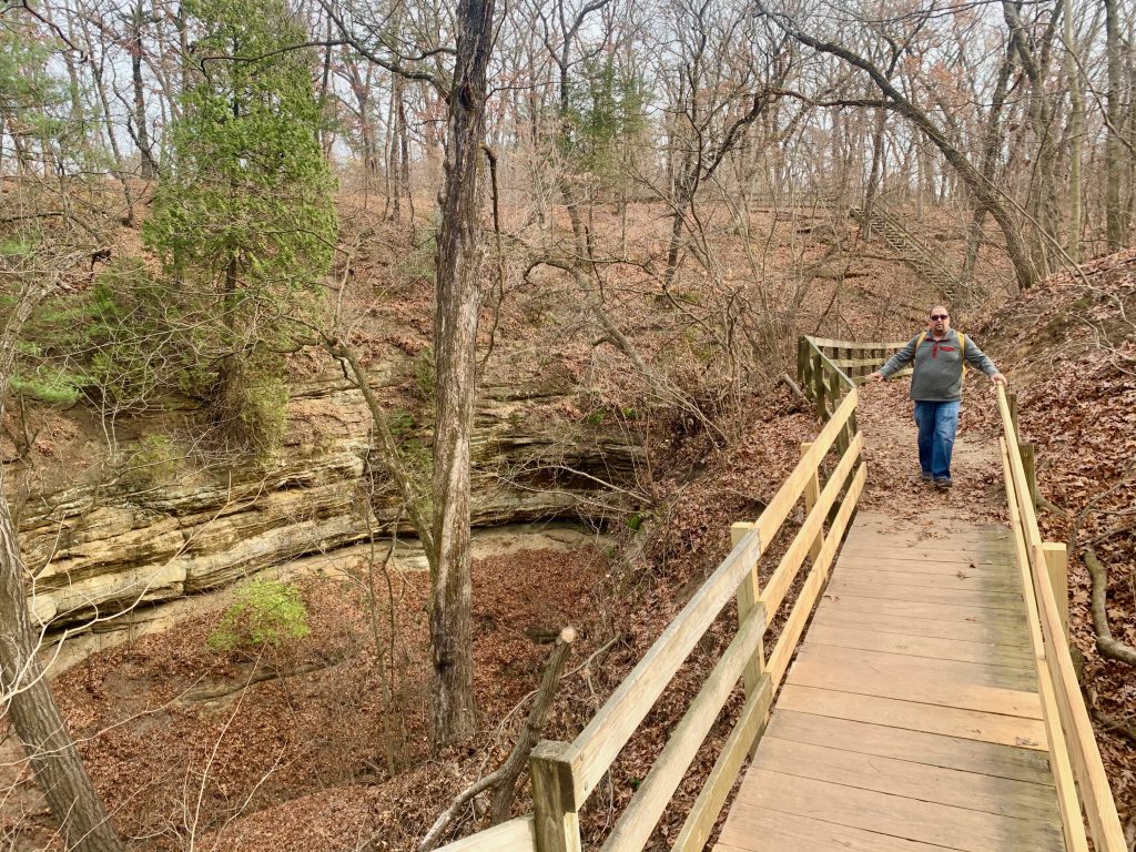
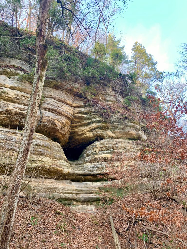
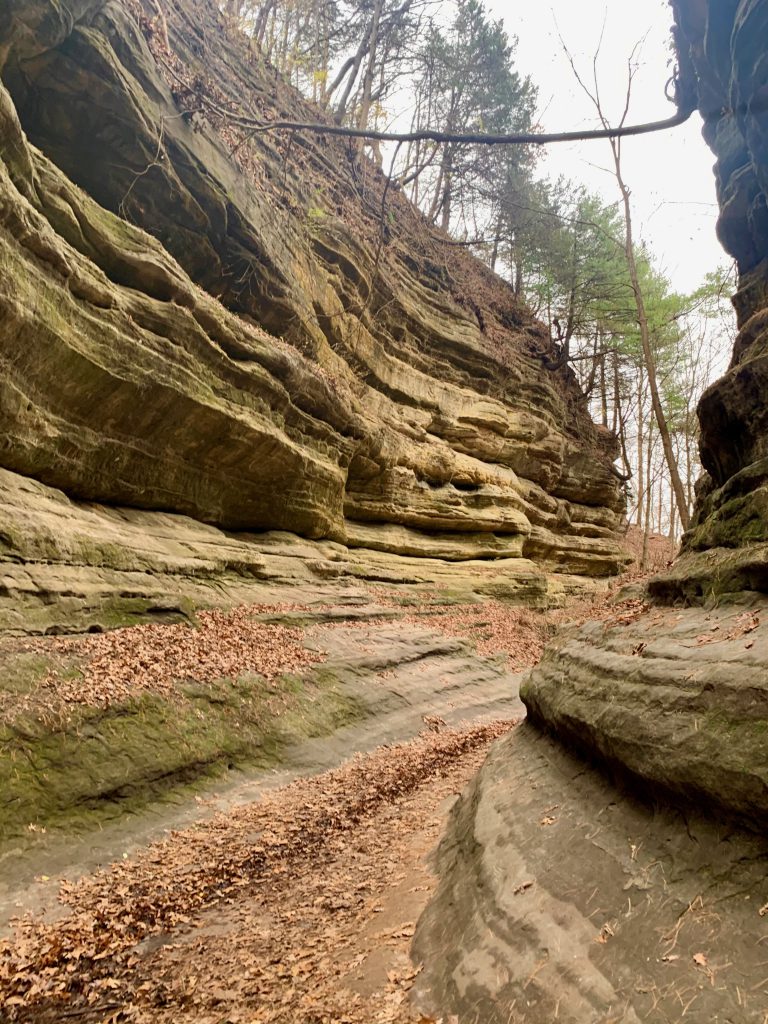
Features 18 sandstone canyons among bluffs, streams, and waterfalls on the south side of the Illinois river, making for spectacular sights
Amenities include camping, a lodge and restaurant, a visitors center, trolley and boat tours, and many events throughout the year including guided hikes
We started our day (very) early. We missed our turn and ended up coming through a delightful little town called Utica. I imagine this is hopping in the summer or maybe just at a nicer time of day, but literally everything was closed. We will definitely visit next time we are in the area!
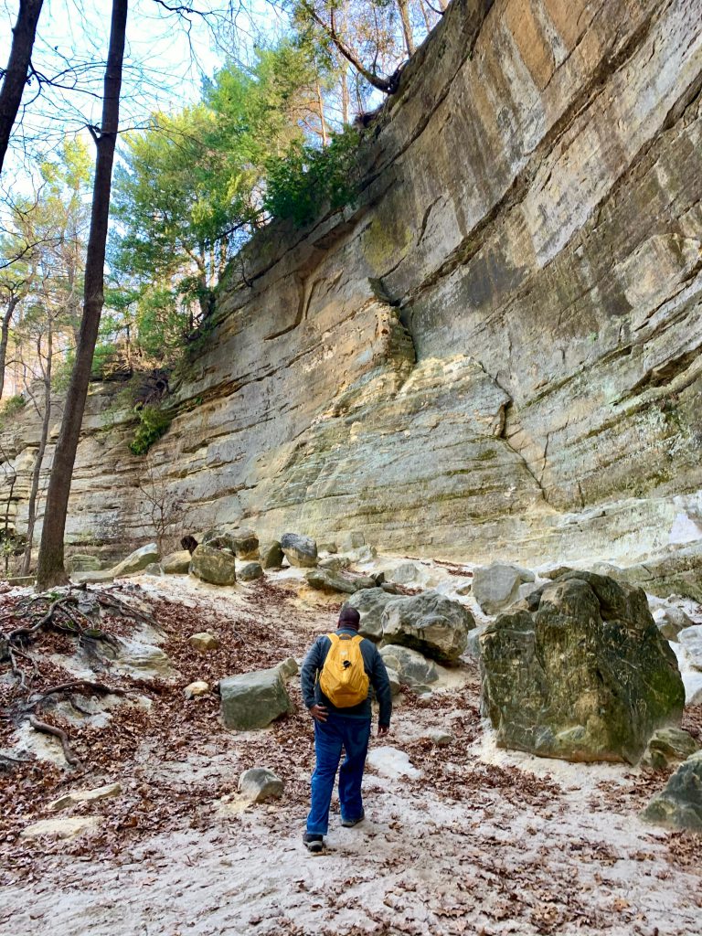
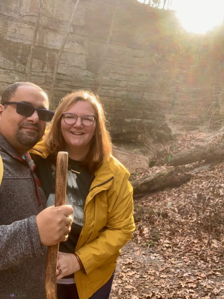
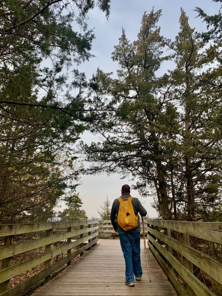
We started early with St. Louis Canyon trail. This was by far one of the most beautiful hikes I’ve done. We went early enough that it wasn’t crowded whatsoever. As we took to the trail, we encountered one grandma and a small girl and one bow hunter (!) and that was it. The hike took much longer than I had anticipated (more on that later), so by the time we were leaving the canyon, there were more people. (More on this later too.)
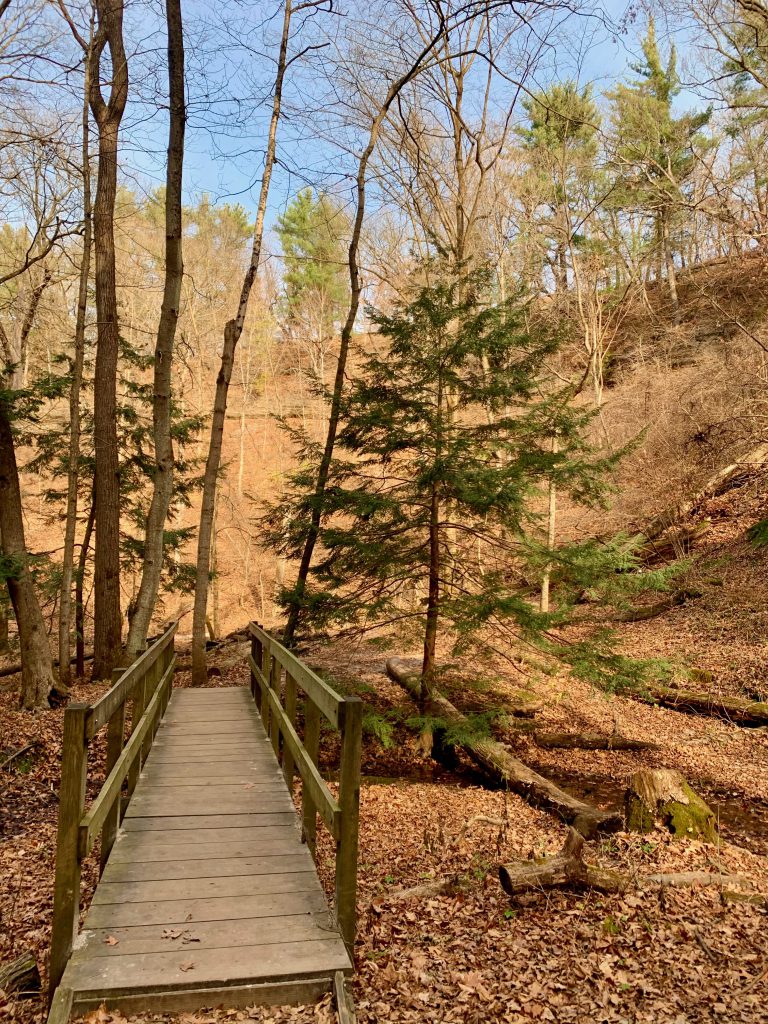
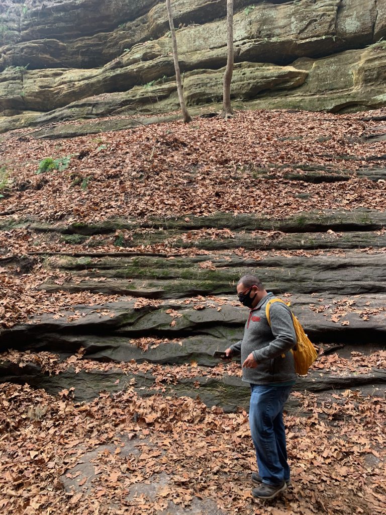
You can access the canyon via a trail that begins by the lodge, or you can hike up to this trailhead from the visitor center, or you can park off 178 and hike in from there. This is the shortest method, but you will truly miss out! The 3-ish mile trail is an out and back trail. From the lodge trailhead, you pass by five other canyons that are gorgeous as well. In spring and summer, some of these canyons feature dramatic running water and waterfalls. Some were wet on our visit though, and all were gorgeous and grand.
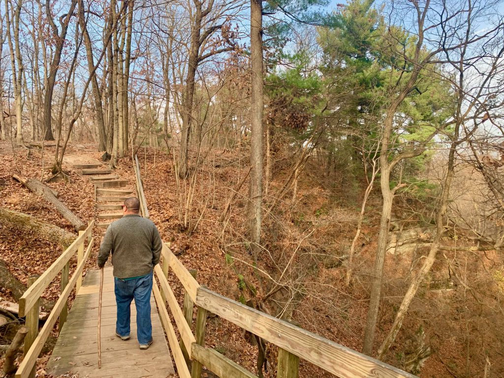
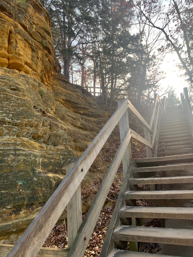
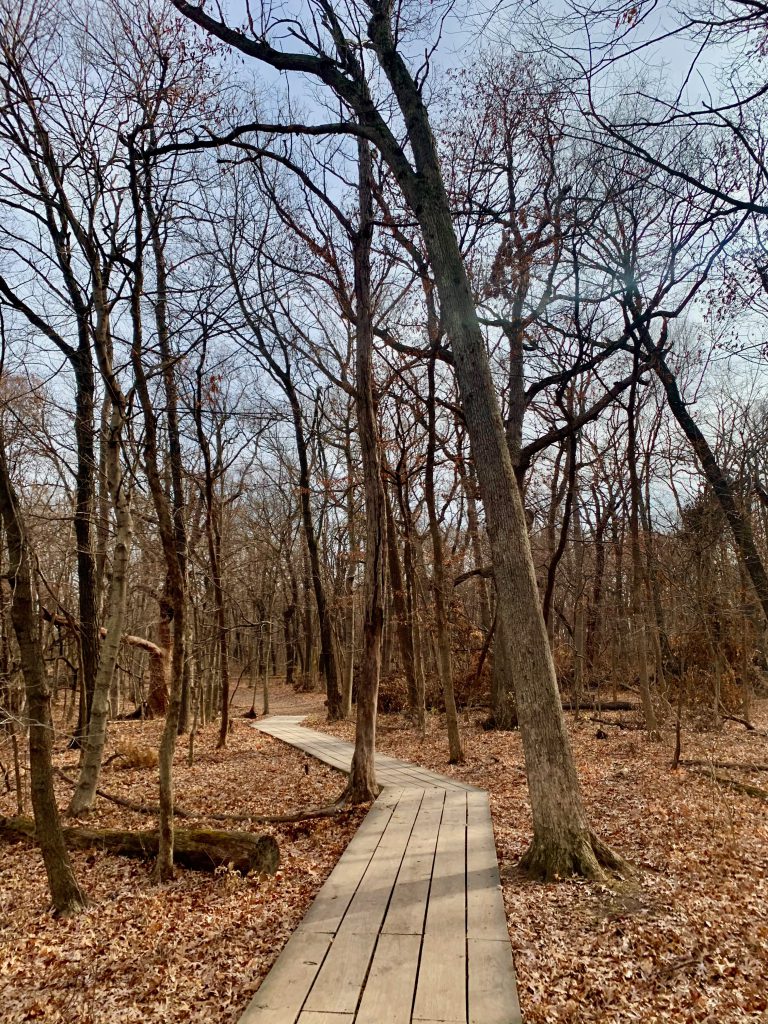
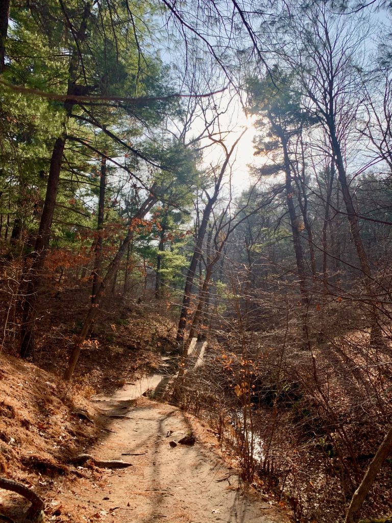
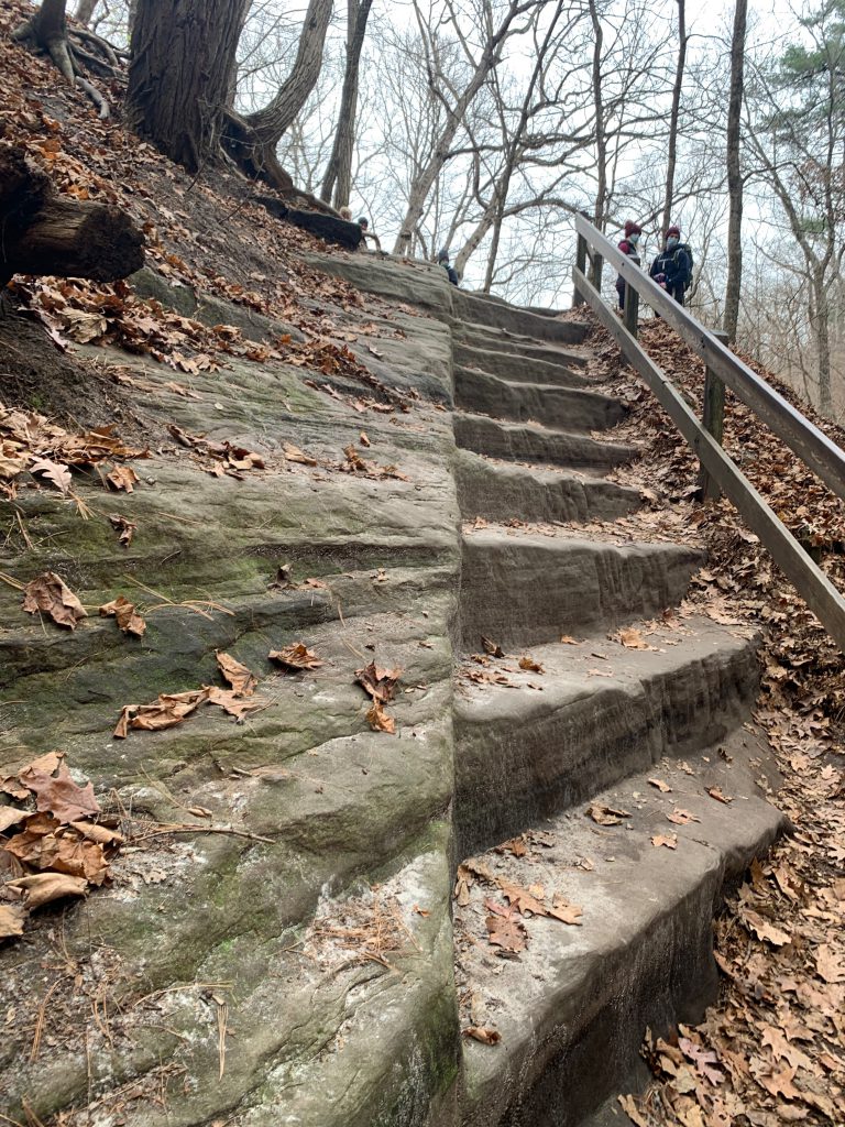
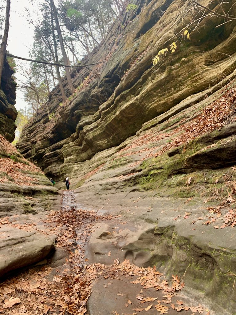
The trail begins with a descent and right away you are treated with Aurora Canyon. Keep going for a beautiful trail through the woods, passing four more canyons. This trail is a bluff trail. I didn’t have trouble with the height at all after the Sac Canyon. The trail is wide and this gives me comfort. There is a boardwalk for a while as well which leads you to stairs around a ledge and down. This is where I personally had a lot of trouble. It was not scary at all, but the anticipation was causing me a lot of anxiety because you could not see the whole staircase. What an analogy for life, right?? Anyway, when I did finally make it down, I felt silly for getting so scared. It was really lovely. Then the trail descends further and down a switch back- this is a very beautiful part of the trail. The trail here is very sandy.
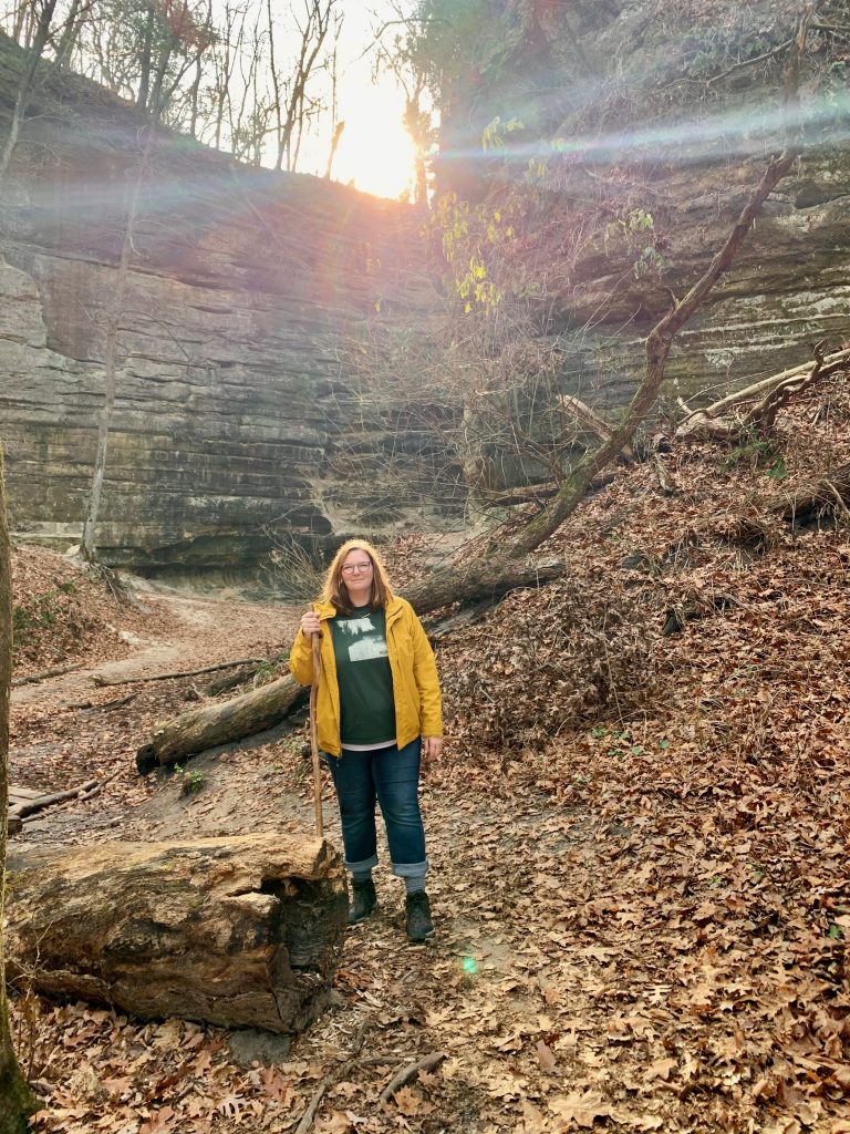
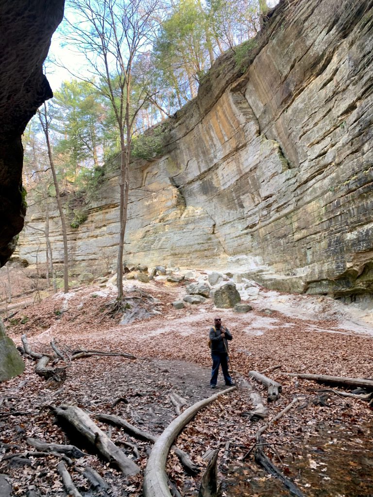
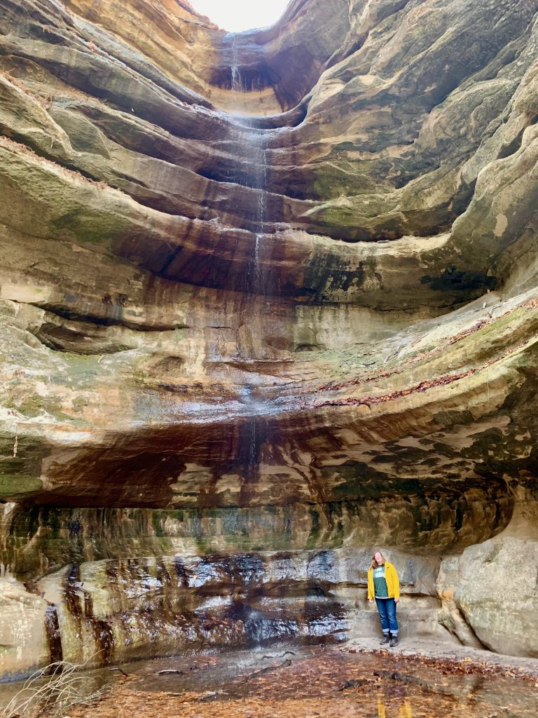
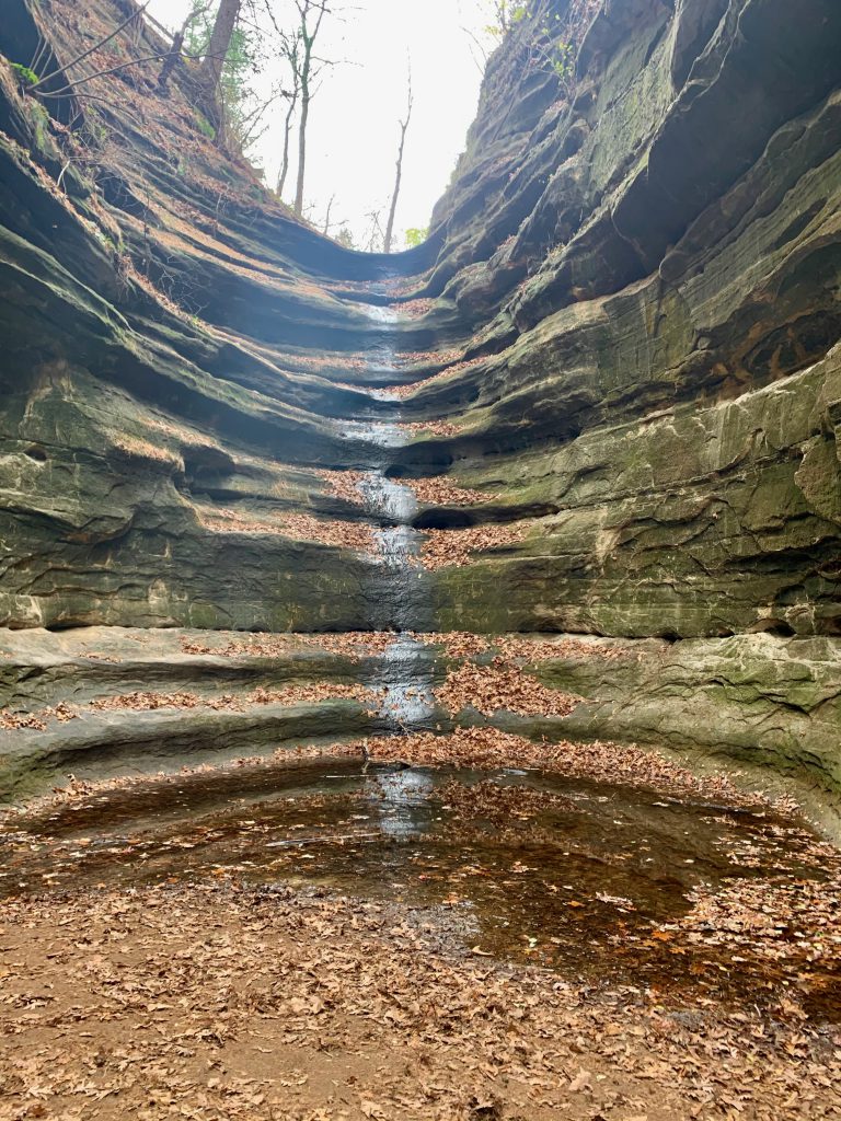
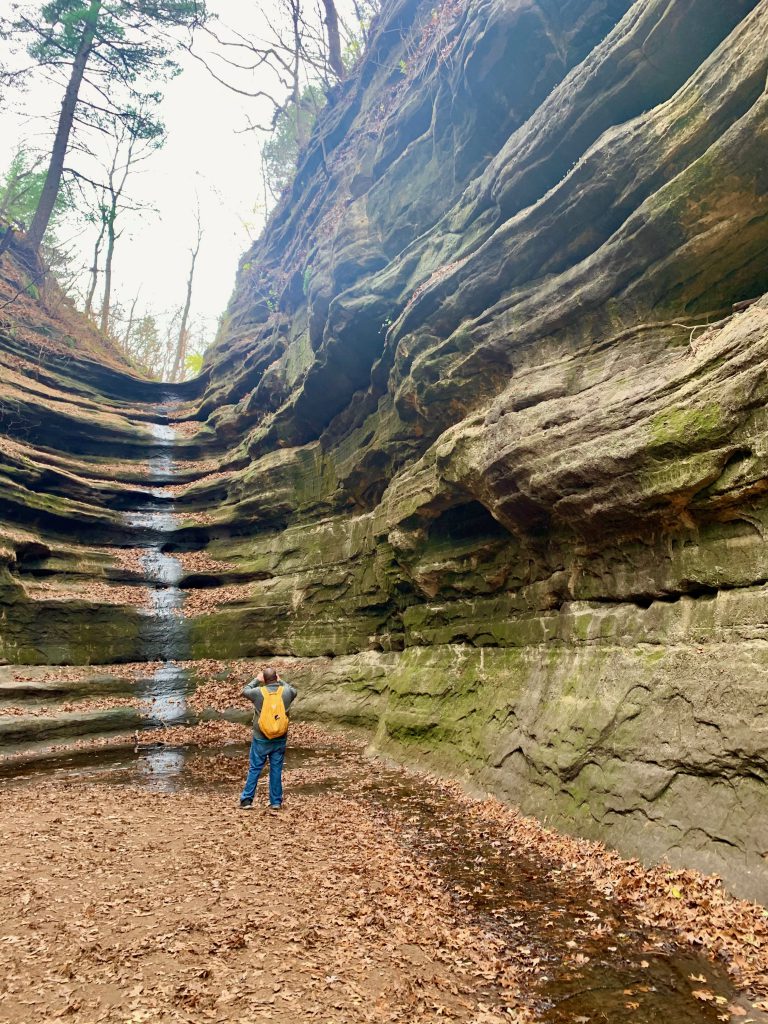
After this, the trail follows alongside the stream. There are parts that you are on a ledge, but it is again not scary. Then you enter the St. Louis Canyon itself. It is absolutely magnificent.
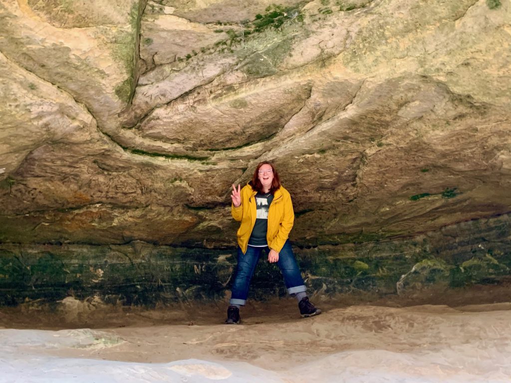
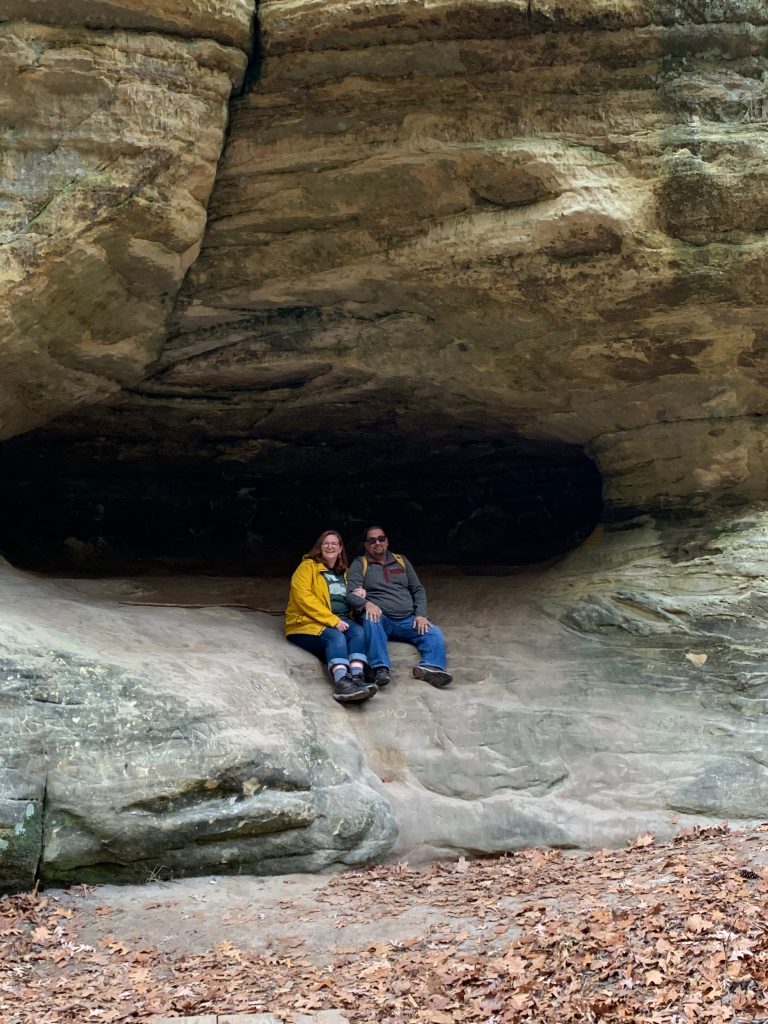
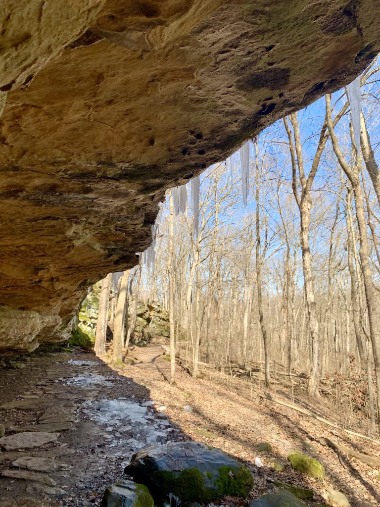
Beautiful sandstone bluffs rise all around you. There are great big boulders and you can hear the water falling over the ledge before you see it. There are some caves that are very tempting!
The waterfall is stunning, and it wasn’t flowing at max capacity when we were there, yet it was still gorgeous. We went early, so the sun was rising over the canyon wall. It was so special to be there.
This is a very popular trail- not the most popular in the park, but very popular. As I mentioned, we only saw the grandma with little girl and the bow hunter on our way in. They were on their way out. We spent ample time getting down to the canyon and exploring in the canyon. By the time we headed back, we saw many families and people hiking in. I was super proud of myself for making it down and up. It had been kind of a battle of me against myself, because my fear of heights did kick in a bit. But I ultimately won!
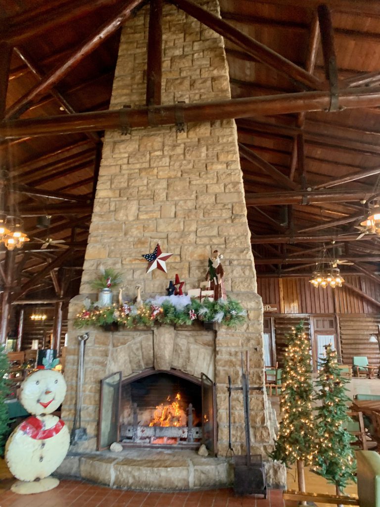
After this, I was super psyched to continue exploring. We stopped at the lodge to and grabbed a bite to eat outside on the bluff. (Indoor dining is closed at this time- FYI.). There is a small snack bar/cafe that offered some hearty choices like breakfast sandwiches and treats like fudge. There is a full-service restaurant inside also. The hotel portion of the lodge is open at this time, but we did not stay overnight.
After we enjoyed our bite on the bluff-top deck overlooking the Illinois River and Starved Rock itself, we descended to the visitor center. There is a trail from the lodge to the visitor center, but it was closed. The trail was closed, I mean, but also the visitor center was closed. There are public restrooms that you can access in the visitor center. There are also port-a-potties to use.
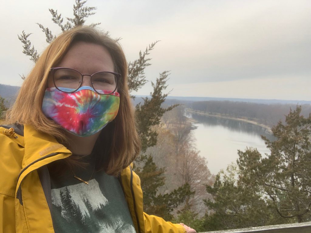
This is when things changed. The parking lot was very full. There were people everywhere. We weren’t sure if we should proceed or not. We grabbed our masks and headed to the trails. We knew that the visitor center is the trailhead for most of the trails in the park, so we thought surely with so many trails, things would thin out on the trails. They did for the most part. There were a couple places where we had to step back or aside to maintain distance. We waited our turn to get up close a few times, etc. People were very mindful and respectful.
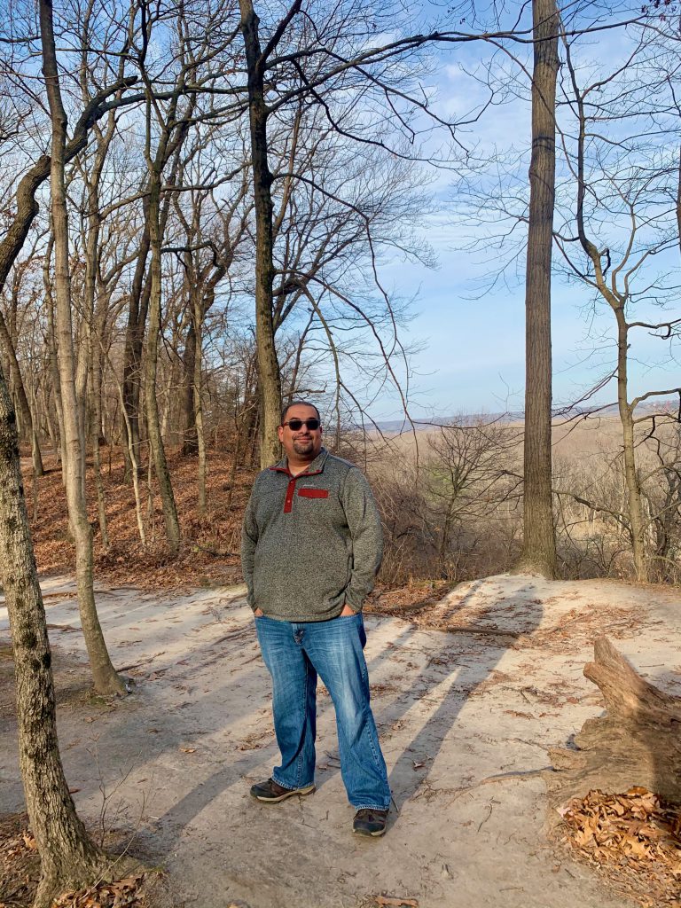
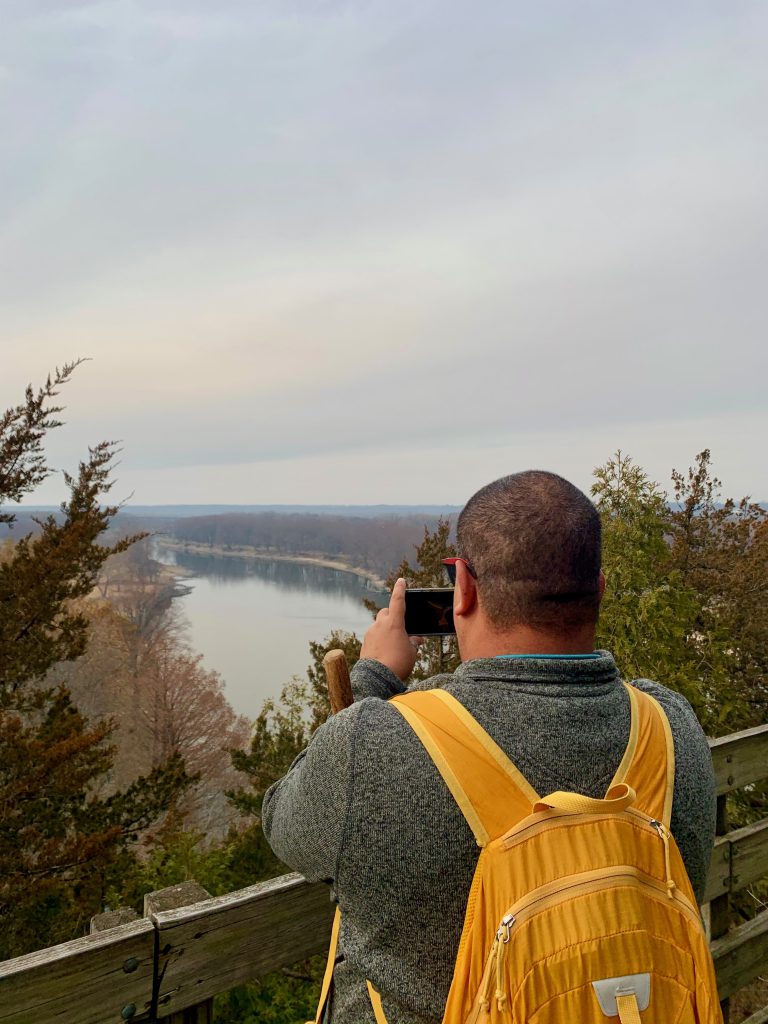
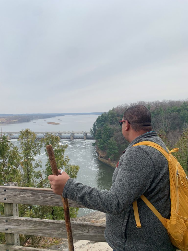
We climbed Starved Rock, of course, because what trip would be complete without doing so. This is not really a “trail.” It is paved most of the way then you climb some stairs to get to the top where there is a boardwalk to explore the top. Really neat views of other bluffs in the park, the dam, and the river.
We then headed in to the other trails. A highlight for me was French Canyon. They say this is the most photographed canyon in the park, and I could see why. it is not as tall as St. Louis Canyon, but it is very gorgeous, serene, and peaceful. I was disappointed with the crowds at first, but I was actually able to really enjoy it. The sandstone has been worn down by the many many visitors this very popular park experiences. Once you’re in the canyon, it is absolutely breathtaking. We had to wait our turn, but we got it all to ourselves in the end.
After hiking for a while, we felt like it was too crowded to really enjoy. We left and headed to a nearby park I was really excited to visit, but it was only open to hunters. So then we headed to another one- Buffalo Rock- and we had a delightful time. More about that later, though!
Starved Rock is 100% worth the trip. It was really, really cool. I imagine with it being that busy on a late November Saturday, it probably gets real crazy in the spring and fall. We plan to return, so we will definitely let you know!
I don’t really need to say that 2020 was a unique year. But there, I said it.
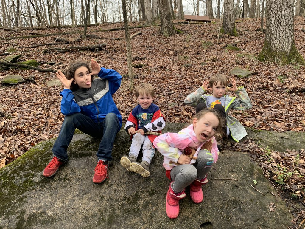
First, the goal was 52 hikes. By February, it became clear that I was going to exceed that goal, and even the goal I had accomplished the year before of 61 hikes. It’s not quite Thanksgiving, which is when the challenge ends, so I don’t know where I’ll ultimately end up. But to date, we have done 127 hikes. That feels like a lot and not enough all at the same time.
This year, I chose the Adventure Series to switch it up.
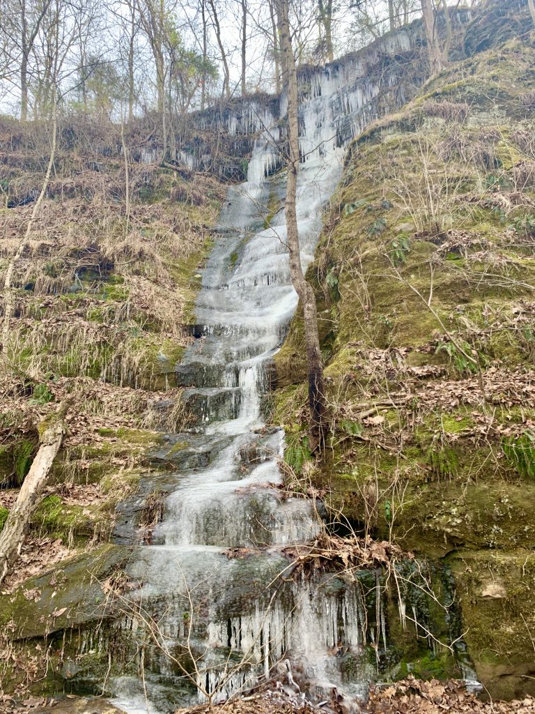
So that includes five waterfalls (wet or dry)
1 National Forest
1 National Park, Monument, Area, etc
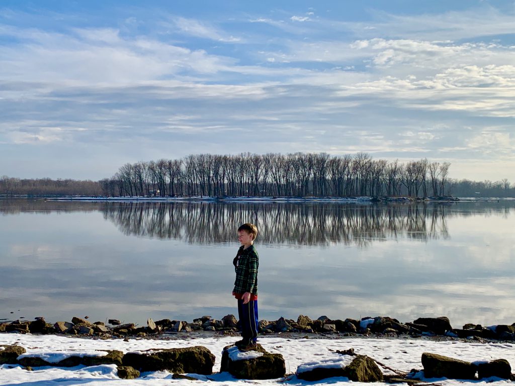
2 hikes near a body of water (river, ocean, lake, etc)
1 stewardship hike
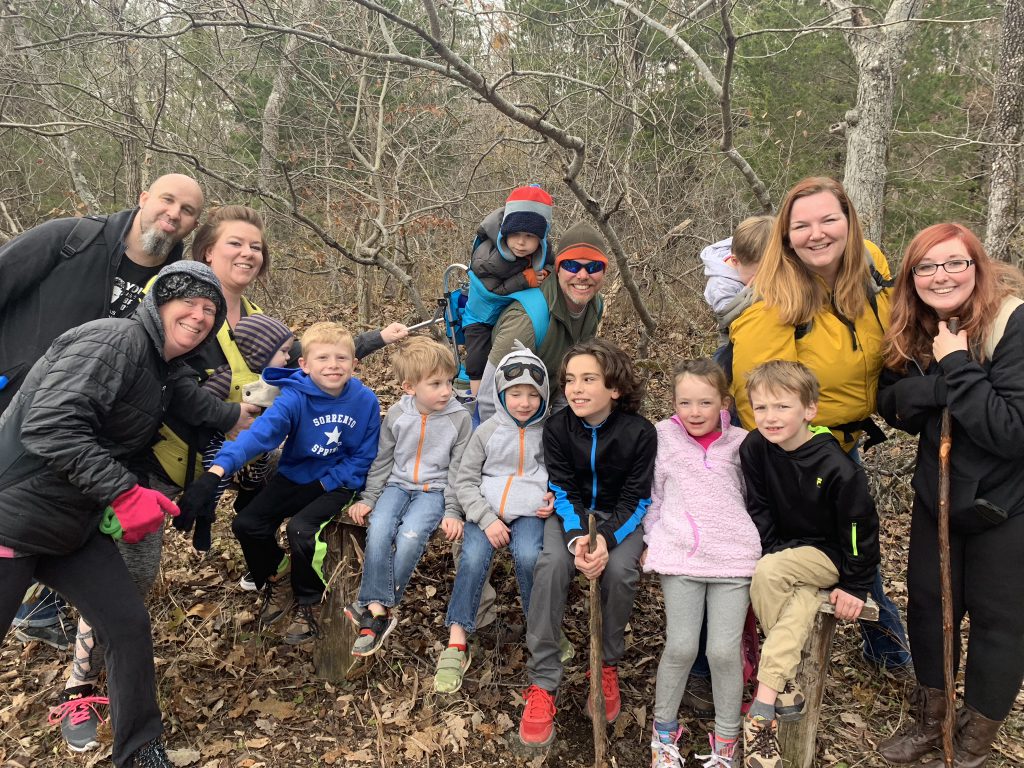
1 group hike
1 hike where you introduce someone to hiking
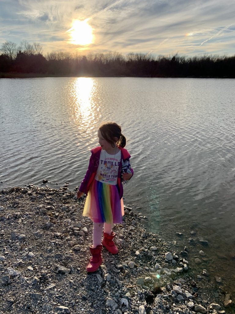
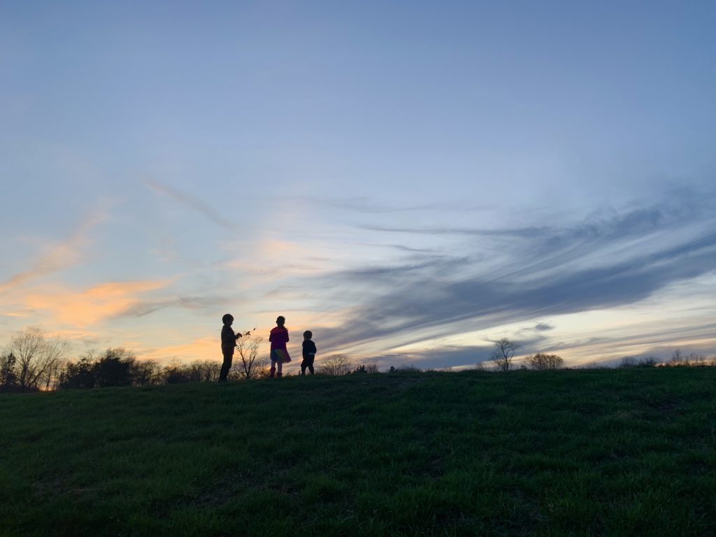
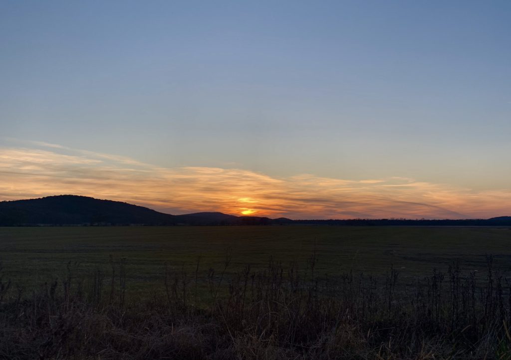
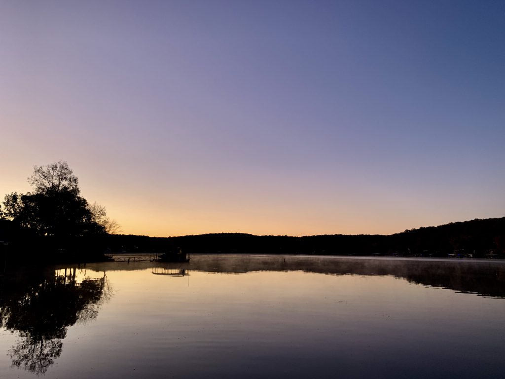
1 sunset or sunrise
1 Bucket List hike
3 Reflection Hikes (beginning, middle, and end of the challenge)
That was cool because it challenged me to have some objectives and seek different trails out. It didn’t quite challenge me to the level I thought it would, so next year I’ll do the explorer series instead.
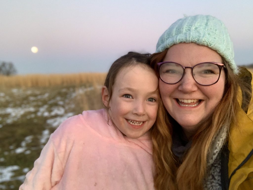
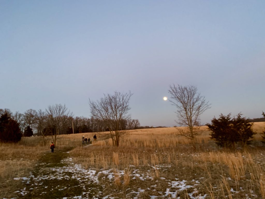
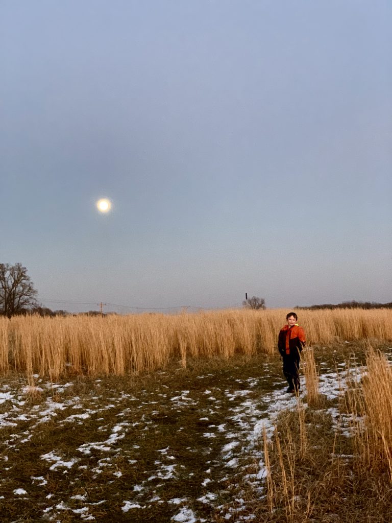
We also did some bonuses like a moonrise hike or two (stunning), some brand new places, and I started doing weekly hikes with my colleagues from work!
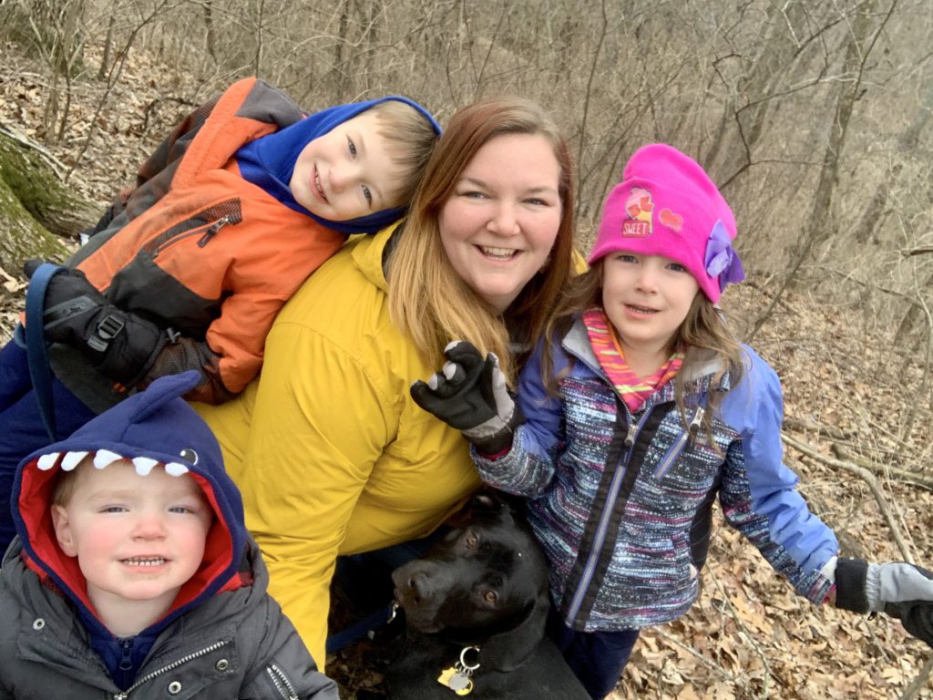
In last year’s recap (find it here!), I discuss how hiking was my therapy and how it’s changed my life one step at a time and challenged my fears and stuff. All still true! I still learn about myself and my family every time. Kareem was recently telling one of my colleagues that he looks at is as connection time. It’s just you and nature or you and your people and nature.
This year especially put things in perspective and priorities adjusted themselves as a result. Everything was heavy, so we filled time with things that filled us up, nourished our bodies and our souls, and connected us when we were disconnected from others. I saw trailheads that were normally nearly empty suddenly FULL of cars. I saw families enjoying the outdoors together for the first time or the first opportunity in a while. We felt in it together, and I loved that. It didn’t last, but it was a beautiful time- the Tiger King/stimulus check times. 🙂
I overcame many fears, as usual. Physical fears like heights and mental/anxious fears… I was dealing with some real stuff, and anxiety and fear was real. Hiking helps me sort things and deal with things and this was very helpful to me.
So last year I counted miles- I’ve lost count. I’ve also lost count of the hours, the steps, whatever. Also lost count of the heart to hearts, the smiles, the tears, the stories, and those are the kind of counts that matter really.
All in all, and incredible achievement. We are not even done yet, but I know how I am and wanted to get this post out there ahead of Thanksgiving. Where will we end? Follow me on Facebook to find out!
I’ll also be setting our new goals and objectives for the coming year too very soon! If you’re local or will be for Thanksgiving, hit me up. We always start the year on Black Friday. 😀
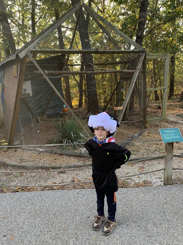
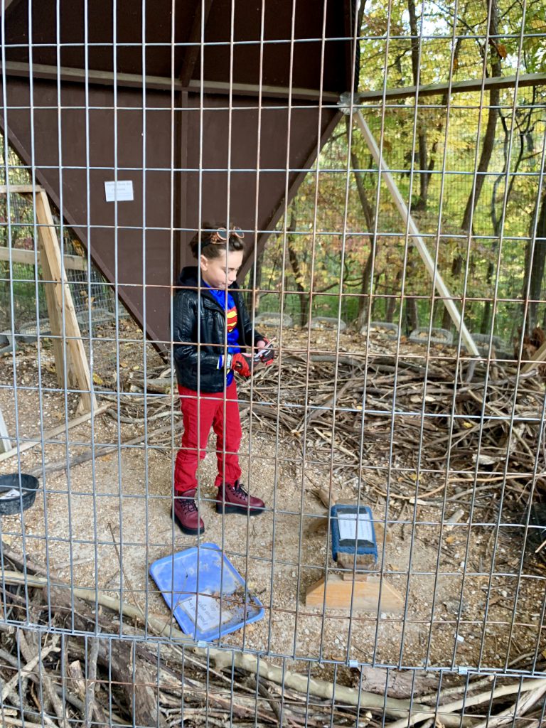
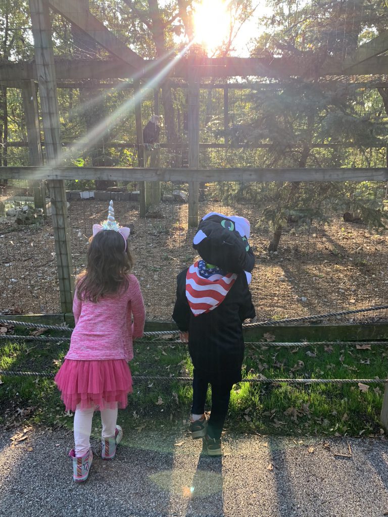
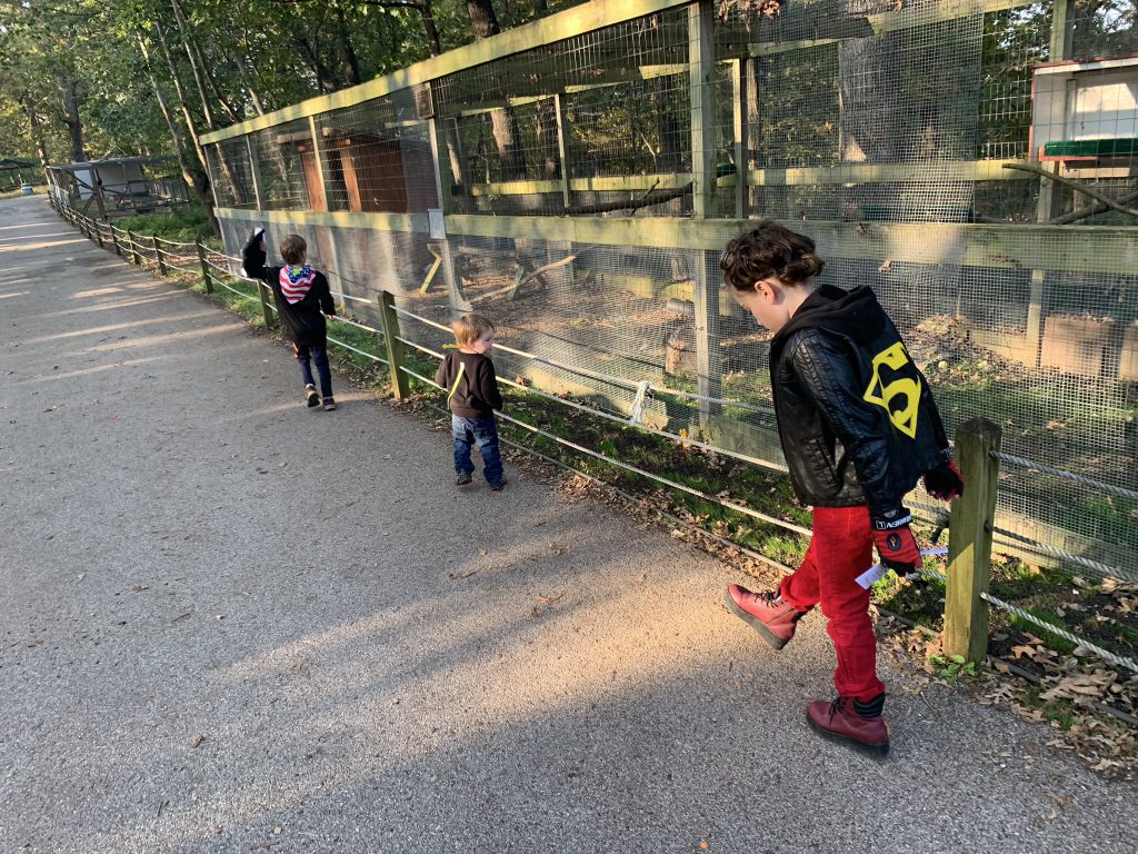
If you’re looking for “nearby” and “family-friendly,” here it is!! Three hundred and five acres of forest with five (very short) hiking trails and outdoor bird exhibits. It is truly beautiful!
World Bird Sanctuary Quick Facts:
No entry fee but there is a suggested donation amount of $8 per car
They are currently requiring anybody over 5 years old to wear a mask both indoors and outdoors. Buildings are closed except for restrooms.
Right next to Lone Elk Park
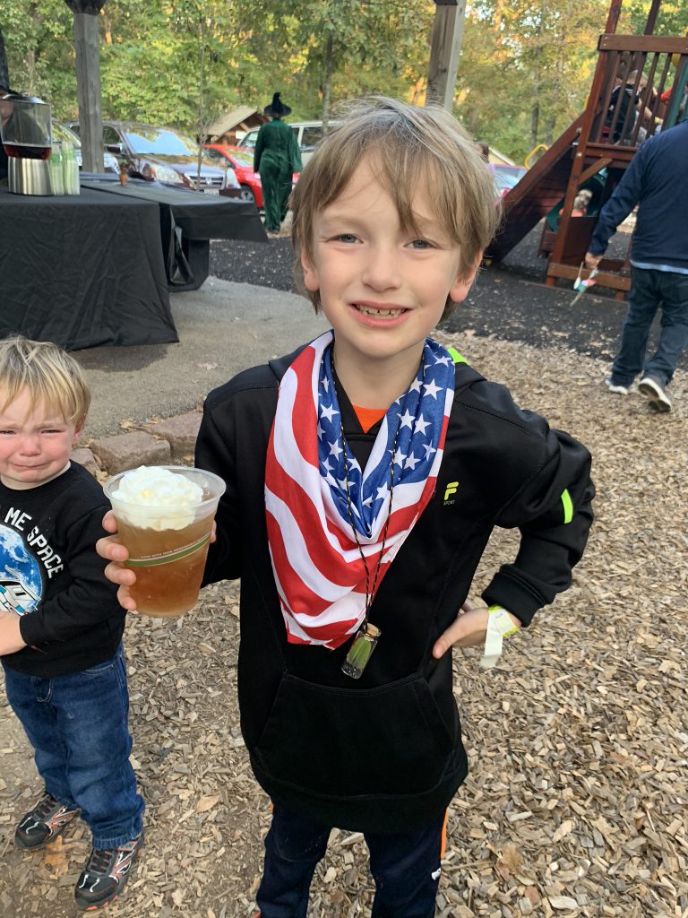
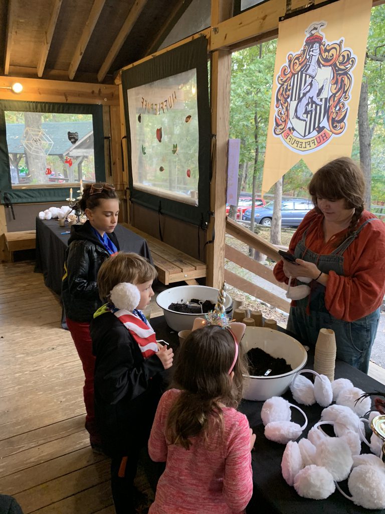
WBS holds really great events throughout the year, though this year is exceptional due to COVID. I know they were doing some drive through events. My photos are largely from last fall’s Halloween event to showcase the beautiful fall foliage there. But I love visiting year round!
As I mentioned, there are several trails, but they are short. Most of them are interconnected in some way, so by the end of it, you have a couple miles in. They are PERFECT if you bring your family who have various levels of ability or stamina. They were a favorite of mine in my single mom days with my little littles.
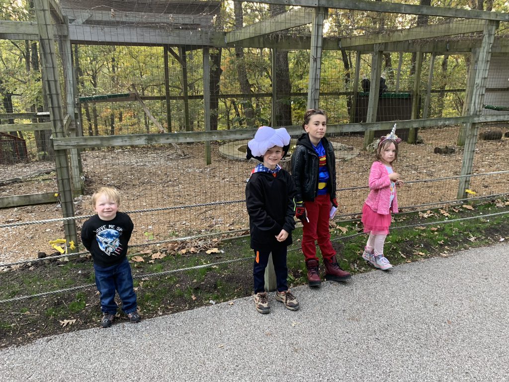
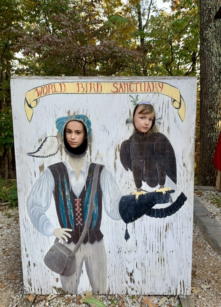
The avian exhibits are really interesting. You can see some amazing birds! There are info plaques by the enclosures. There is plenty to see. There’s a small playground (not sure if it’s open at the moment) and normally there are shows (not sure if they are playing at the moment). Even without those experiences, it is still worth a visit!
It’s also literally next to Lone Elk Park, which has a 3-ish mile hiking trail if you’re looking for something longer. If you are not, you can drive through the park to see elk and bison, among other wildlife!
World Bird Sanctuary is a really unique and special location we are lucky to live near. Combined with a picnic at Lone Elk and some hiking, you’ve got yourself a perfect fall day!!
Kareem’s Hot Take: WBS is pretty cool. It’s great for kids. They learn a lot.
Ha Ha Tonka is a Missouri state park in Camden County and a true treasure of our state. With tall bluffs, scenic views, unique geologic sites, and castle ruins, it is a super unique and something for everyone adventure.
Being down in Camdenton at the Lake, I think some people overlook this park. But this is a destination in itself!
Ha Ha Tonka Quick Facts:
over 17 miles of trails
located at Lake of the Ozarks
Amenities include: picnic sites and shelters, kayak rentals, fishing dock, boat docks, a special-use camping area
This is a wonderful location for a fall hike because of the gorgeous scenic views. You really can’t avoid it here- everything is beautiful!
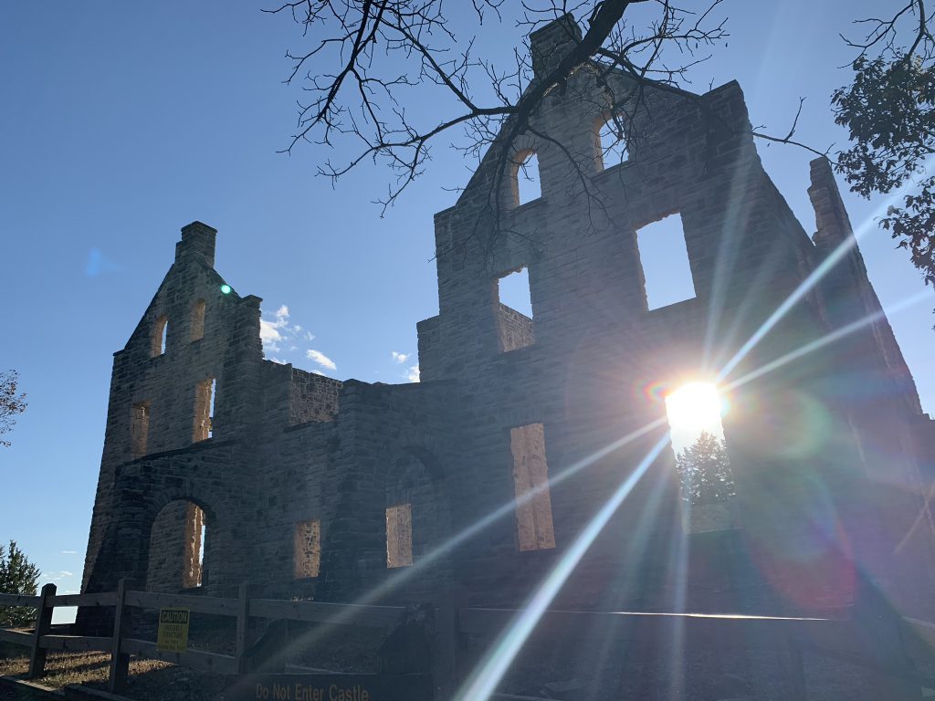
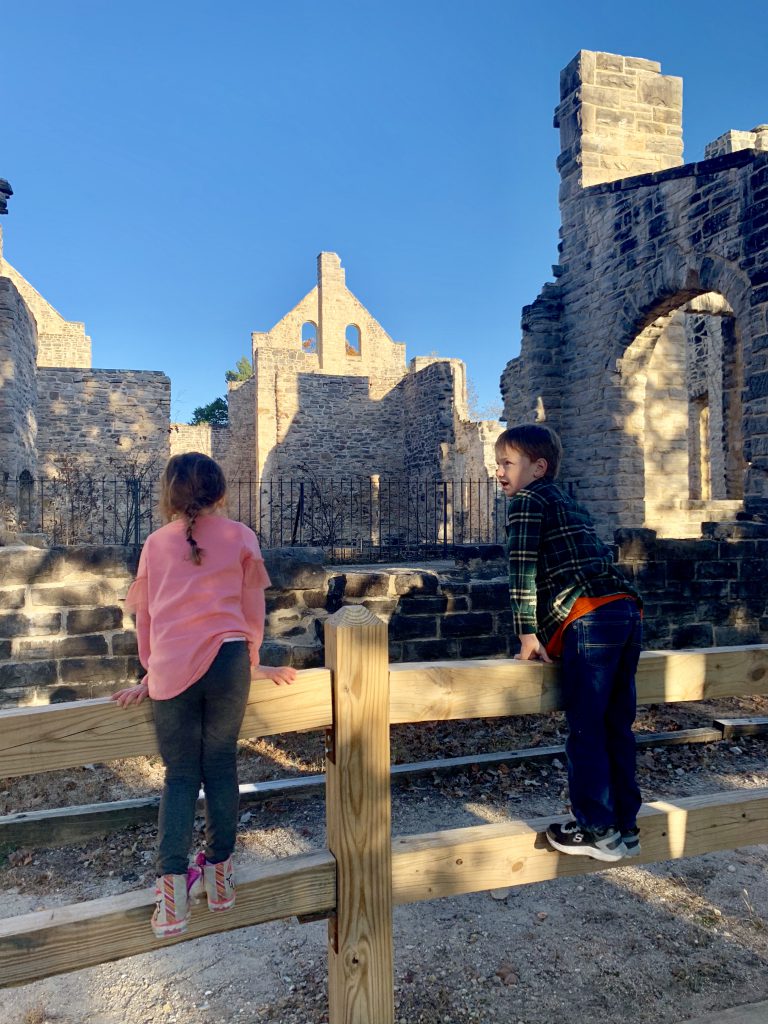
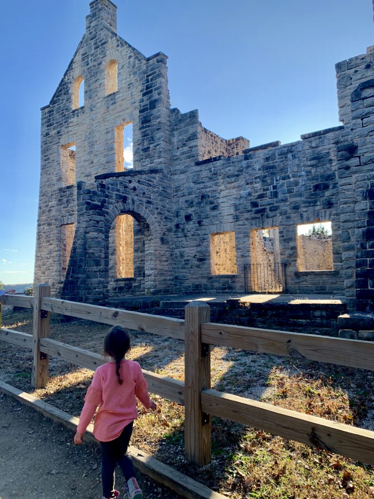
The castle ruins are probably the number one attraction. The word “castle” is somewhat misleading, but it is probably the closest thing to a castle we have in the state of Missouri. It was a stone mansion built in the early 1900s by a wealthy family. It was later a hotel and then burned down in the 40s. The gorgeous stone arches and palatial window spaces do look very castle-like, and my kids were amazed.
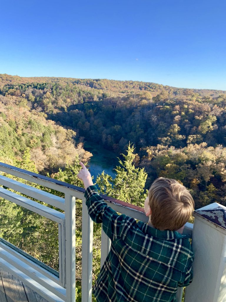
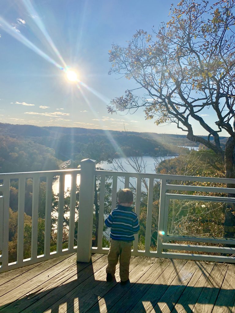
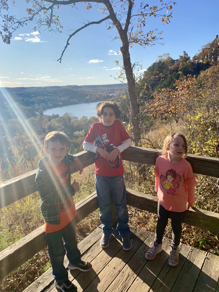
The trail to the castle ruins is paved and it is handicap accessible. It is also perched atop the bluffs overlooking the spring and lake, so it is an incredible sight. We saw tons of hawks flying right by us, and it was a really special moment for our family. The water tower is also there that you can hike up to and it is another pretty hike, but not handicap accessible.
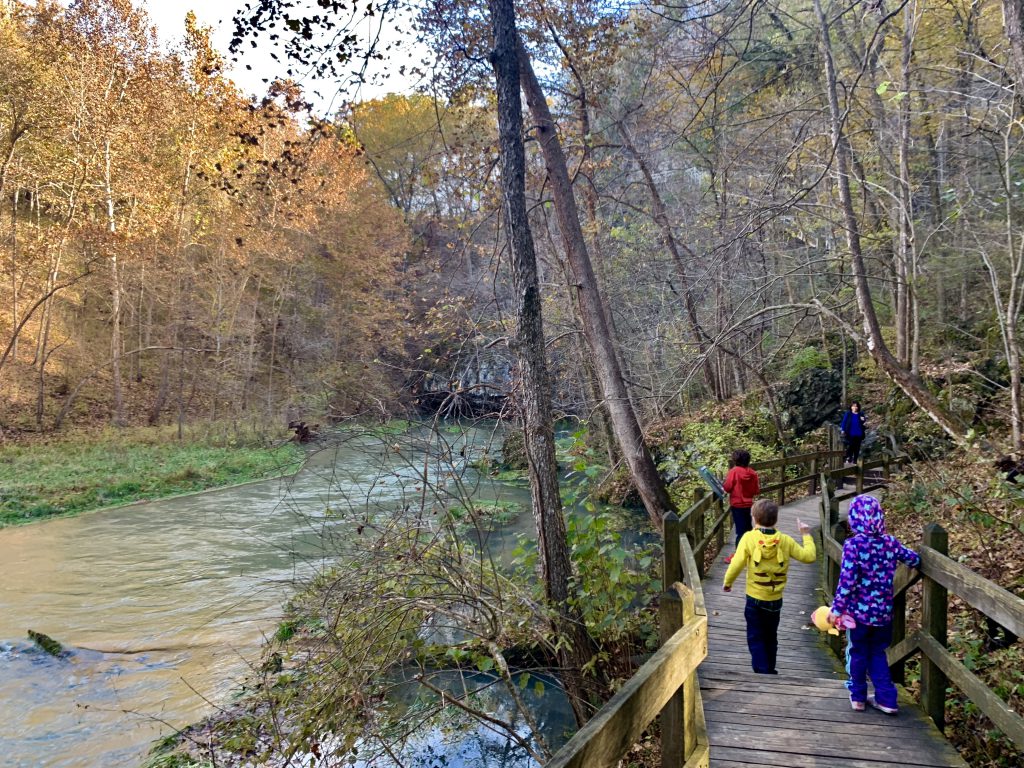
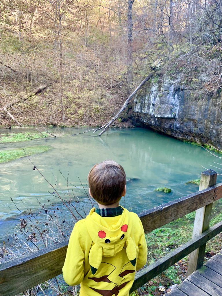
Another amazing sight is the spring. It’s a beautiful hike with a wooden boardwalk alongside the spring and the Niangua arm of the Lake of the Ozarks. The boardwalk leads to the spring and then a 300-step staircase up the bluff which is also beautiful, but maybe not for everyone. You can turn around and go back down the boardwalk. There’s also a small old millstone and some remains of an old mill. This was one of my kids’ favorite hikes. They couldn’t get enough!
The most impressive geological wonder of the park in my opinion is the large natural bridge. There is a beautiful trail that goes down under the arch, down into and up out of a large sinkhole, and along the bluff, then back over the natural bridge arch. There are some drop offs, but it’s still pretty kid-friendly.
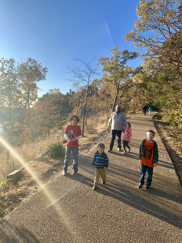
Another nice thing is that many of the trails connect. So you can really customize the length of your hike(s). I love this as we have kids who can be unpredictable when it comes to hiking. Some days, we’re doing 6 miles and other days we can barely handle 1.2. 😀
We ended up grabbing a really good deal on Booking.com for a last minute time-share that wasn’t booked right on the Lake. It was super nice and perfect for us! We spent the day at Ha Ha Tonka, and actually went back for more the following day. A perfect fall weekend!